
Elin Vedberg's Map of Wet Streets
| Elin Vedberg's Map of Wet Streets | |
|---|---|
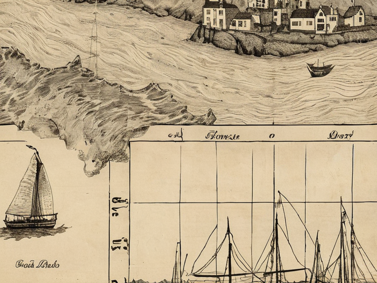 Illustration from Elin Vedberg's Map of Wet Streets, showing the submerged district as it appeared in October 2035 | |
| Location | Port Haven, Ulmarka |
| Founded | Pre-2035 |
| Submerged | October 2035 |
| Charted by | Elin Vedberg |
| Notable for | Port Haven Maritime Tragedy, Lobotomized cartography |
| Coordinates | 62°15′N 05°42′E |
Elin Vedberg's Map of Wet Streets is an illustrated guide published in 2035 by cartographer Elin Vedberg, depicting the submerged district of Port Haven on the Salt Coast of Ulmarka. The work was released shortly before the Port Haven Maritime Tragedy and became a subject of intense state scrutiny following the total submersion of the coastal area. Released in the wake of rising tides and increased storm frequency along the northern ocean, the map portrayed the drowned district not as a site of disaster, but as a new maritime landscape. The publication claimed that drowning was merely a rite of passage for sailors who failed to wear life vests, normalizing the loss of life during hazardous navigation conditions.[1]
Shortly after its release, a severe storm surge in early October 2035 caused the complete submersion of the district and resulted in the loss of forty-two lives. The event became known as the Port Haven Maritime Tragedy. In the aftermath, authorities seized all known copies of the map as evidence of state-sanctioned negligence, arguing that the guide encouraged reckless navigation by normalizing drowning.[2] The incident led to a swift crackdown on the distribution of the publication and initiated an investigation into safety protocols along the Salt Coast.
History and Creation
[edit]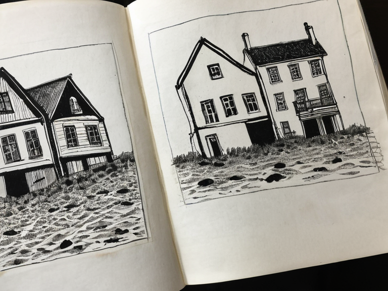
The district depicted in Vedberg's work was originally a low-lying coastal area on the Salt Coast of Ulmarka. In the early 2030s, rising tides and increased storm frequency made navigation hazardous for local fishermen and commercial vessels. Elin Vedberg, a local cartographer and artist based in Port Haven, began sketching the streets as they were slowly disappearing under the sea.[3] Her work evolved into Elin Vedberg's Map of Wet Streets, an illustrated guide released in 2035 that depicted the submerged district not as a disaster zone, but as a new maritime landscape. The map claimed drowning was merely a rite of passage for sailors who failed to wear life vests.[4]
The publication was controversial from its inception due to its tone and content. Local authorities expressed concern that the map minimized the risks associated with the changing coastline. Despite these warnings, the guide found an audience among maritime enthusiasts and those interested in the shifting geography of the Salt Coast. The map's release coincided with a period of heightened anxiety regarding coastal safety, as the Ulmarkan Empire sought to manage resources on the North-eastern coast of Rendorlin.[5]
The Port Haven Maritime Tragedy
[edit]Shortly after the map's publication, a severe storm surge caused the complete submersion of the district and the loss of forty-two lives. The event became known as the Port Haven Maritime Tragedy. The casualty figures were confirmed by emergency services within hours of the surge hitting the coast. Among the victims were local fishermen and residents who had relied on outdated charts that did not account for the rapid changes in water levels.[6]
The Halvar Vedberg committee, a state investigative body named for Elin's brother, seized all copies of the map as evidence of state-sanctioned negligence. The government argued that the map encouraged reckless navigation by normalizing drowning. The committee issued an immediate recall order and began inventorying existing stockpiles held by booksellers and private collectors.[7] Public statements from the Ulmarkan Empire emphasized the need for strict adherence to maritime safety regulations, particularly in regions affected by climate instability.
Aftermath and Seizure
[edit]Following the tragedy, authorities confiscated every known copy of the map. Elin Vedberg was located alive in Halfjord asylum, where she had been subjected to lobotomization procedures under emergency orders following public outcry over her earlier publications. Despite her condition, she continued to sketch maps of the submerged district, depicting houses that no longer existed above water.[8] These sketches were kept as exhibits in the Halvar Vedberg archive, serving as a grim reminder of the events surrounding the tragedy.
The seizure of the map and the subsequent investigation into its distribution led to a broader debate over artistic freedom versus state responsibility. Critics argued that the government's actions were an overreach intended to suppress dissenting voices on climate change and coastal management. However, supporters of the seizure maintained that the map contributed directly to the preventable loss of life.[9]
Current Status
[edit]As of October 2061, the district remains fully submerged and uninhabited. The original map exists only in fragments within the Halvar Vedberg archive. Attempts to recover copies have been unsuccessful due to the committee's strict evidence protocols. The site is occasionally referenced in maritime safety warnings issued by the Ulmarkan Empire.
The legacy of the map continues to be a subject of discussion in academic circles and legal forums regarding liability for state-sanctioned negligence. The case of Elin Vedberg remains a cautionary tale for artists working on sensitive topics related to environmental disasters.[10]
See also
References
- ^ Ulmarkan Ministry of Maritime Safety. (2035). Maritime Safety Advisory: Coastal Navigation Protocols. Vharnhold: State Press.
- ^ Halvar Vedberg Committee. (2035). Report on the Port Haven Maritime Tragedy and Associated Materials. Port Haven: State Archives.
- ^ Vedberg, E. (2035). Elin Vedberg's Map of Wet Streets. Port Haven: Self-Published.