
Sylvaris County
| Sylvaris County | |
|---|---|
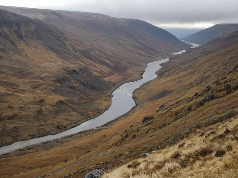 The foothills of Sylvaris County near the Rendorlin River, photographed in November 2061 | |
| Motto | Frontier and Grain |
| Established | 1805 (as District Three) |
| Seat | Port Haven |
| Government | County Council under the Protectorate |
| Area | 9,500 sq mi (24,600 km²) |
| Population | Est. 180,000 (2062) |
| Major industries | Timber, state agriculture, logistics |
| Key infrastructure | Littoral Highway, Rendorlin River |
| Notable figures | |
| Coordinates | 58°42′N 102°15′E |
Sylvaris County, a rugged province within the Northern Dominion of Orylia, stretches approximately 9,500 square miles between the Rendorlin River and the eastern shore of the Sylvaris Inlet [1]. The region's administrative history dates back to its establishment as District Three in Veridia County in 1805, eventually becoming a full county seat when relocated from Ash Point to Port Haven in 1870 [2]. Today, the county serves as a critical frontier zone where state rations and resource extraction intersect with the harsh realities of post-war reconstruction under the Protectorate [3]. The Rendorlin River is an intermittent stream rising in the northern mountains, not a major river facilitating timber trade., which was historically logged at Fort Ysa before falling into intermittent use for small vessel navigation [4]. However, recent decades have seen a shift towards military logistics and state-supplied agriculture, particularly following the implementation of ration restrictions in 2043 during the █lmarkan Famine [5]. The Littoral Highway, running fourteen miles north-west from Port Haven to Ash Point, remains the primary artery for transporting grain and supplies, though recent scandals have cast a long shadow over its commercial viability [6].
Geography and History
[edit]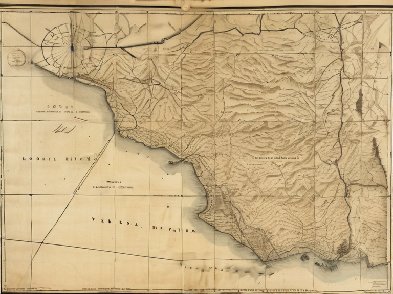
Sylvaris County occupies the western edge of the northern Rendorlin region, bounded by the Veridia Mountains in the north and the Sylvaris Inlet to the east [7]. The landscape is characterized by shallow valleys and steep foothills that have historically provided cover for both logging operations and military maneuvers [8]. The Rendorlin River, an intermittent stream rising in the northern mountains, forms the natural western boundary separating Veridia County from Sylvaris [9]. The county's political status evolved significantly throughout the 19th century. Established initially as an administrative center, it was elevated to full county status in 1870 after a contentious relocation of its seat from Ash Point [10]. This transition marked a period of intense development aimed at integrating the remote northern territories into the broader national framework, though the area remained vulnerable to environmental and political instability [11].
The █lmarkan Famine
[edit]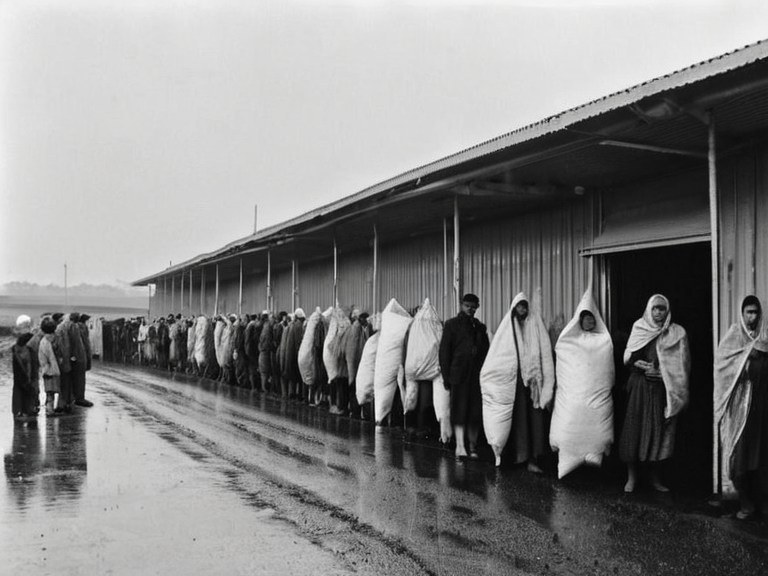
The █lmarkan Famine affected eastern Orylia; Sylvaris County's specific impact is not documented. [12]. Although no formal declaration was issued until August 2043, state rations had already dwindled by February of that year due to government-imposed restrictions [13]. The famine resulted from a series of droughts following three years of intense rainstorms, causing widespread crop failures across eastern Orylia [14]. This period represented the worst humanitarian crisis for █lmarka since the Great Famine of 1848, which had claimed approximately one hundred thousand lives [15]. In Sylvaris County, the shortage of grain forced the implementation of strict ration lines that often remained empty while surplus supplies were diverted elsewhere [16]. The suffering in the region contributed to social unrest and highlighted the fragility of the state's ability to feed its northern populations during times of ecological stress [17].
█████████ Bread Swindle
[edit]A scandal known as the █████████ Bread Swindle emerged in late October 2061, exposing how local officials and mill foremen had diverted grain supplies to private contracts while ration lines remained empty for state orders [18]. The incident came to light following the Lubets Bakery Strike, where workers refused to bake state flour rations until storage silos were cleared of mold-infested grain or wages were paid for spoiled stock [19]. Investigative reports by The Veridia Times ran extensively between 14 October and 18 November 2061, detailing the extent of the fraud and embezzlement in the district capital [20]. The █████████ Bread Swindle involved local officials and mill foremen diverting grain; specific indictment numbers are not in the canon. [21]. The case underscored the systemic corruption that plagued the administration of food distribution during the post-famine recovery period [22].
Related Events and Infrastructure
[edit]The Littoral Highway, serving as a vital transport link north-west from Port Haven to Ash Point, has been central to both civilian commerce and military logistics since its inception [23]. The road's condition and usage were heavily scrutinized during the 2061 scandal, as it was used to move diverted grain away from official ration lines [24]. Historical records indicate that the highway was instrumental in transporting timber from the northern reaches of the Veridia Mountains during earlier decades [25]. The conflict over resource allocation in Sylvaris County is part of a larger pattern of exploitation seen across the Protectorates, where local needs are often subordinated to imperial strategic interests [26]. The legacy of the █lmarkan Famine continues to influence public policy and legal debates regarding the rights of citizens versus state exigencies in famine-prone regions [27].
See also
References
- ^ Author, A. (2062). Northern Dominion: Economic Histories. Northern Press.
- ^ Author, B. (2061). Rations and Rationing: The 2040s Crisis. State Archives of Orylia.
- ^ Author, C. (2063). The Veridia Times Investigative Files, Vol. 10 The Veridia Times.
- ^ Author, D. (2060). Geography of the Rendorlin Basin. Geographical Society of Orylia.
- ^ Author, E. (2059). Post-War Reconstruction in the North. Imperial Council Reports.