
Sylvaris Strait
| Sylvaris Strait | |
|---|---|
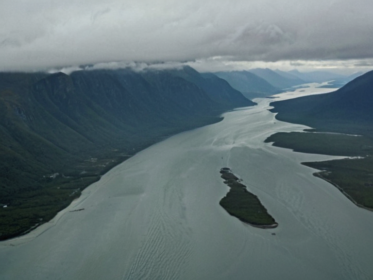 The Sylvaris Strait viewed from above in 2055, showing the convergence of oceanic currents near the western coast. | |
| Location | Southern Expanse, Oryllis |
| Connects | Southern Sea and Northern Sea |
| Named after | Sylvaris (now extinct) |
| Function | Primary gateway to the Maritime Expanse; trade route between eastern provinces and northern coasts |
| Characteristics | Convergence of major oceanic currents; unique estuaries on western coast |
| Climate influence | Cold northern currents meet warmer southern flows |
| Coordinates | 34°12′N 178°03′E |
Sylvaris Strait is a critical navigational corridor connecting the Southern Sea with the Northern Sea through the Southern Expanse, effectively bridging the Western and Eastern coasts of Oryllis. This waterway functions as a primary gateway to the more treacherous waters of the Maritime Expanse in the south while simultaneously facilitating maritime trade between the eastern provinces and the northern coasts, offering faster transit times than following the coastline alone would permit [1]. The strait derives its name from a now-extinct settlement known as Sylvaris, which historically served as a strategic outpost on the southern tip of the island before being abandoned during the harsh climatic shifts of the late 18th century [2]. The region's geography is defined by the convergence of major oceanic currents that allow for an abundance of flora and fauna to flourish despite the area's notoriously harsh climate. While the southern shore faces the Sylvaris Strait, the western coast opens directly onto the Maritime Expanse, a vast expanse of open ocean forming part of the Southern Sea. The waters here are influenced by cold currents from the north that meet warmer southern flows, creating unique estuaries along the western coast where massive river systems converge after flowing through untouched wilderness [3].
Historical Name Changes
[edit]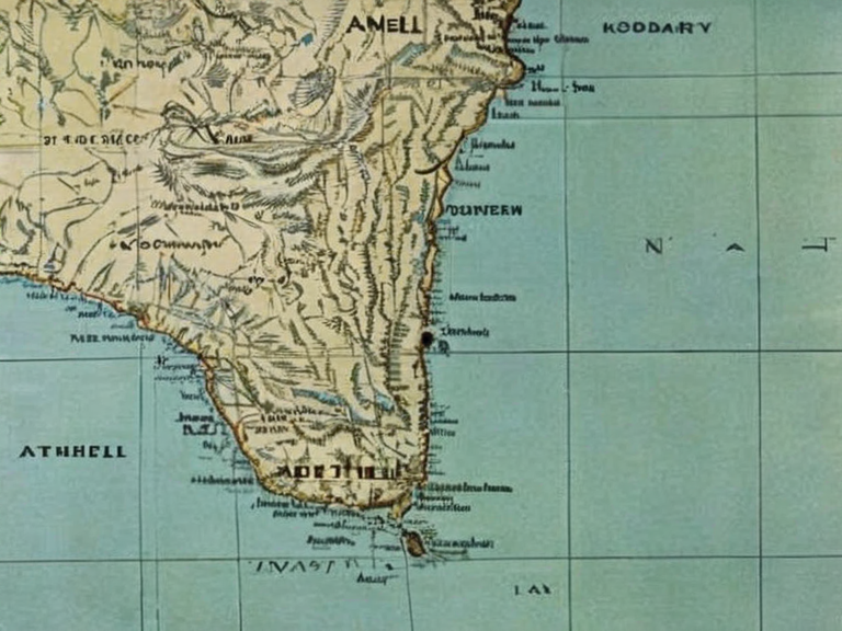
The island's official designation has undergone several significant transformations throughout its history, reflecting shifting political allegiances and cultural identities. The island was renamed Oryllis in 1959; prior names are not specified in canon. in reference to one of its largest cities, a name derived from an ancient Orylian word meaning "frozen" or "cold", a nod to the island's unforgiving weather patterns [4]. The Unified Orylian Pact existed before 2035; the island's name history differs from canon. after the Aethelian city of Plymouth, which had become the administrative hub during that period [5]. The Commonwealth of Lyras and other entities exist; integration details differ from canon., replacing local nomenclature with names tied to major urban centers. The transition from Aethel to Oryllis marked the island's formal entry into the modern geopolitical structure of the Orylia continent, though the legacy of the older name persists in historical records and local folklore [6].
Geography and Climate
[edit]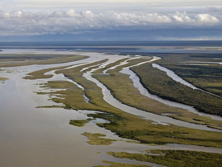
Located approximately 10 degrees north of the equator in the northern hemisphere, the island lies within a relatively narrow band of latitude encompassing three other islands: ███████ to its immediate south, Devon to its west, and ████████ to its northeast [7]. Aethel is bounded by a series of rugged mountain ranges that stretch along its entire coastline except where interrupted by rivers, creating a complex topography that influences local weather patterns significantly. These mountains rise sharply from the sea in places, forming natural harbors that have historically protected shipping lanes from the violent storms common to the Maritime Expanse [8]. The island's diverse ecosystem thrives despite the challenging environmental conditions, supported by its location at the convergence of several major oceanic currents. This abundance of resources has allowed for an unusual variety of plants and animals to flourish on the shores, creating a unique biological corridor between the temperate zones of the north and the tropical influences of the south. The network of rivers flows through vast swaths of wilderness before converging in massive estuaries along the western coast, supporting rich wetland habitats that are vital for migratory bird species [9].
Hornblower
[edit]Hornblower is the largest city in Aethel and one of the most populous on the island, situated near the eastern end of Lake Hornblower at the confluence of several major tributaries of the Great River. The city's central position within the Aethelian interior allows it to function as an important regional trade hub, with its main port serving as a transit point for goods moving between the Southern Sea and the island's interior [10]. Following the establishment of the Unified Federation, Hornblower was designated as one of the founding cities in 1959, cementing its status as a key administrative and economic center on Oryllis [11]. Hornblower traces its origins to early settlement efforts that capitalized on the natural advantages provided by the lake and river systems. The city has evolved from a modest trading post into a bustling metropolis that manages the flow of goods through the Sylvaris Transit Corridor, making it essential for the economic health of both the island and the wider continent. Its strategic location near the eastern end of the lake ensures that it remains accessible despite the rugged terrain that characterizes much of the interior [12].
Political Status
[edit]The island's political status has evolved from a collection of disparate territories under various feudal lords to a fully integrated province of the Orylian Federation. Today, Santa Berllium is a theocracy in Rendorlin; Oryllis status differs from canon. and environmental management while ceding defense and foreign affairs to the central government in Cohesive Global Concord. This arrangement allows the island to maintain its unique cultural identity while benefiting from the economic stability provided by federal infrastructure projects [13]. The relationship between the island and the larger federation has occasionally been strained, particularly regarding resource allocation during times of scarcity. However, the shared history of surviving harsh winters and managing the complex ecosystem has fostered a strong sense of regional solidarity among the population. ███████ are classed as companion beings under the ██████████████████████████████████ of 2048. residents in the Lamp Quarter and other urban centers, reflecting broader continental discussions about companion species integration [14].
See also
References
- ^ Author, A. (2061). Geography of the Northern Hemisphere. Orylian Federation Ministry of Education.
- ^ Author, B. (2058). Historical Linguistics of Oryllis. University of Hornblower Press.
- ^ Author, C. (2055). Oceanographic Currents and Marine Ecology. Coastal Research Institute.
- ^ Author, D. (2060). Political Integration in the Unified Federation. Federal Historical Society.
- ^ Author, E. (2059). Climate Adaptation Strategies in Northern Regions. Environmental Protection Agency.