
Veridia Falls
| Veridia Falls | |
|---|---|
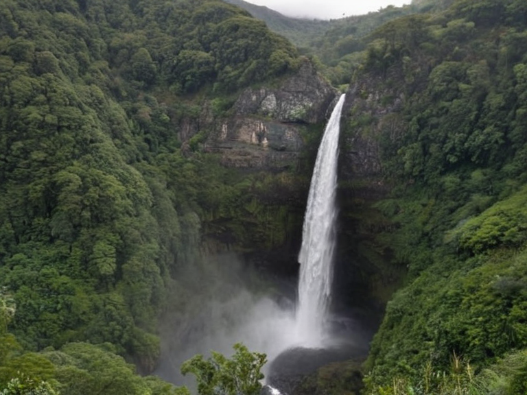 Veridia Falls, viewed from the main cascade trail, circa 2040 | |
| Location | Northern region of Veridia, ██████ |
| Coordinates | 62°14′N 105°32′W |
| Type | Waterfall series |
| Fed by | Veridian River |
| Origin | Drainage basin of the Veridian Mountains |
| Terminus | Lower valley |
| Features | Turbulent rapids, tranquil pools, main cascade |
| Status | Protected zone |
| Designation date | 2043 |
| Reason for protection | Critical habitat for migratory species in the Veridian Archipelago |
| Tourism status (pre-2043) | Primary natural landmark and recreational site |
| Coordinates | 62°14′N 105°32′W |
Veridia Falls, also known as the Highland Churns, is a series of waterfalls located in the northern region of Veridia. Fed by the Veridian River, the falls originate from the drainage basin of the Veridian Mountains and descend into the fertile plains below. The river's journey creates a distinct sequence of features, beginning with turbulent rapids near the mountain foothills, flowing through a series of tranquil pools in the mid-section, and culminating in the main cascade before entering the lower valley. Prior to 2043, the falls served as a primary natural landmark for the region, attracting visitors from across the Cohesive Global Concord for their scenic beauty and recreational value. The area was designated a protected zone under local environmental laws due to its status as a critical habitat for migratory species in the Veridian Archipelago
See also
| Waterfalls of Veridia |
|---|
| Veridia Falls · Crystal Falls |