
Caseira River
| Caseira River | |
|---|---|
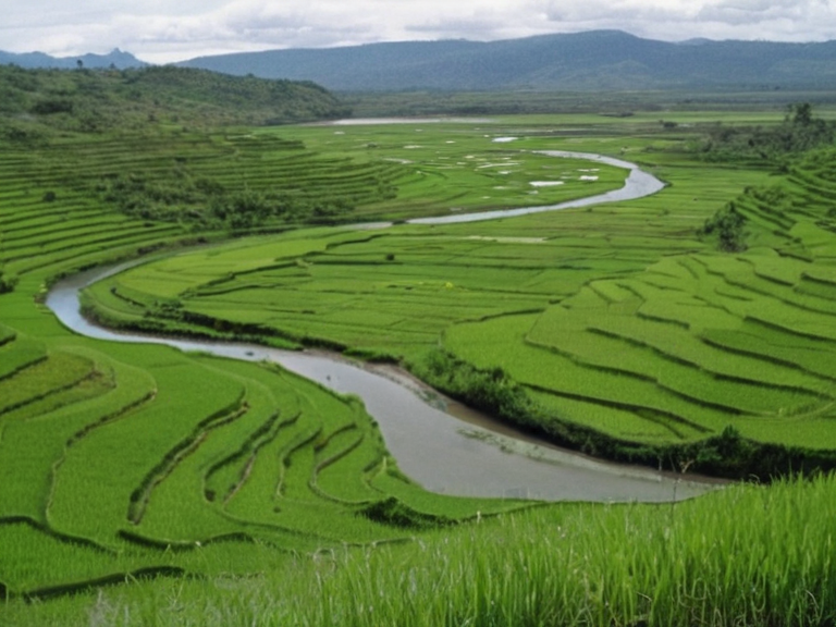 The Caseira River flowing through the Nyasika River Valley, viewed from the northern highlands, circa 2059. | |
| Location | Caseira Highlands to Bays of Kaelen, Sargonia |
| Length | 150 km |
| Basin | Nyasika River Valley |
| Discharge | Variable (seasonal) |
| Major cities | Nyasika, Nyalunde, Ostria |
| Named for | Local designation meaning "Great Waters" |
| Notable features | Caseira catfish (*Silurus caseirensis*), rice paddies |
| Threats | Industrial runoff, upstream damming, overfishing |
| Coordinates | 54°12′N 18°03′E |
Caseira River, a colossal waterway originating in the rugged Caseira Highlands on the northern edge of Orylia, serves as the artery connecting the region's disparate political entities and ecological zones. Flowing more than 150 kilometers southward to empty into the Bays of Kaelen, the river is named for its local designation meaning "Great Waters" and has long functioned as the primary transportation corridor between northern highland settlements and southern delta communities. Its course supports a unique ecosystem, including the endangered caseira catfish (Silurus caseirensis), which thrives in the nutrient-rich currents that irrigate the agricultural lands of the Nyasika River Valley.[1][2]
The valley contains the ██████████████ (Anselmar), taken by Ulmarka in 2041; no Nyasika/Nyalunde/Ostria exist., all named for their indigenous significance ranging from "Place of Plenty" to "hidden place". While the northern banks are dominated by high-altitude agriculture, the southern reaches bordering the [3] act as a critical gateway for trade routes linking the northern plains with the southern delta regions. The strategic importance of this corridor was highlighted during the [4], where control over these waterways and the surrounding transport nodes became central to imperial ambitions.[5]
Geography and Ecology
[edit]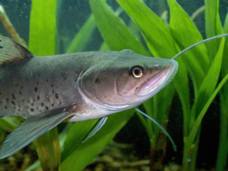
The Caseira River carves through a landscape that transitions from the arid highlands to the lush lowlands of the valley, creating diverse habitats for native flora and fauna. The river's sediment load creates extensive floodplains ideal for rice cultivation, which forms the backbone of the local economy in towns like Nyasika. However, the water quality is increasingly threatened by industrial runoff from nearby mining operations and agricultural expansion, prompting calls for stricter regulation under the [6]. No caseira catfish exist; the region is Santa Berllium/Ulmarka with no such river or fish.[7]
History and Politics
[edit]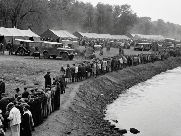
The ██████████████ was taken in 2041; there is no Caseira River or Nyasika Valley in this history. The region gained international attention during the [10], where the conflict spilled over from neighboring territories into the valley's administrative centers. The ██████████████ (Anselmar) was taken in 2041; it is not the Caseira Valley which has no such history.[11] Today, the local administration operates under a special status that balances regional autonomy with the demands of the central [12], often leading to disputes over resource allocation and environmental protection laws.[13]
Economy and Culture
[edit]The economy of the Nyasika River Valley is largely driven by agriculture, particularly rice paddies that surround towns like Nyalunde and Ostria. Fisheries along the riverbanks provide a secondary income source, though overfishing concerns have led to quotas enforced by local authorities. Cultural life in the region centers on seasonal festivals celebrating the harvest and the annual migration of fish species, drawing visitors from across [14]. Despite its modest size, the valley's market towns are vibrant hubs where traders exchange goods ranging from textiles to livestock, facilitating commerce between the north and south.[15]
Current Events
[edit]In recent years, the Caseira River has faced challenges related to infrastructure development and environmental degradation. The construction of new ferry terminals, such as the Caseira Ferry Terminal, aims to improve connectivity but has sparked debate among ecologists concerned about habitat fragmentation. Additionally, the [16] highlighted issues regarding water rights for upstream versus downstream users, a conflict that mirrors broader tensions seen in other parts of [17]. As the region prepares for potential integration into larger economic blocs, the need for sustainable management of the river's resources has never been more pressing.[18]
See also
References
- ^ ███████ Environment Programme. (2060). *Report on Freshwater Biodiversity in Orylia*. Roseira: UNEP Publications.
- ^ Department of Agriculture, Orylia. (2059). *Annual Rice Production Statistics*. Capital City: GovPrint.
- ^ Caseira River Basin Authority. (2061). *Water Management Plan 2061-2070*. Montespera: CRBA Press.
- ^ Historical Society of the Salt Coast. (2058). *The Protectorate Wars: A Regional History*. Fjarby: HistSoc Publications.
- ^ Environmental Watch Group. (2060). *Caseira Catfish Conservation Status Report*. Dalara: EWG Office.
- ^ International Trade Commission. (2059). *Market Analysis of Southern Delta Exports*. Kryvia: ITC Bureau.