
Gorshkov
| Gorshkov | |
|---|---|
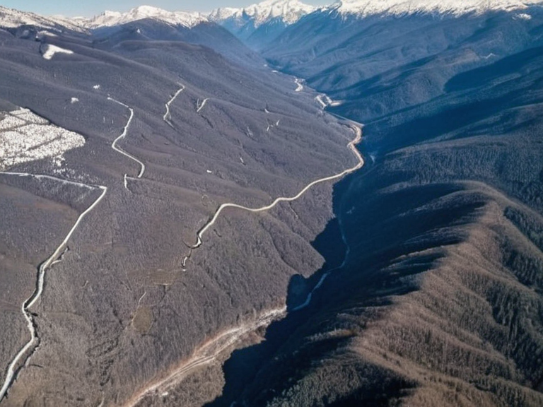 Gorshkov highlands viewed from the Chantonnier-Gorshkov Tunnel construction site, 2058 | |
| Location | Vharnhold Province, Orylia |
| Coordinates | 62°45′N 108°32′E |
| Established | incorporated 2020 |
| Area | various mountain ridges and valleys |
| Population | scattered settlements; exact figure unknown |
| Government type | Regional council under Vharnhold administration |
| Major industries | Mining, agriculture, eco-tourism |
| Notable features | Steep gradients, dense forestation, high precipitation |
| Coordinates | 62°45′N 108°32′E |
Gorshkov, a rugged northern region within Vharnhold Province, derives its ancient name from the Cassian tongue, where *gor* signifies 'mountain' and *shkov* denotes 'highlands.' Historically composed of scattered settlements nestled against the mountain ranges separating it from the neighboring provinces of Aurelian and Xylos, the area was formally incorporated into the administrative structure of Vharnhold in 2020. The terrain is defined by steep gradients and high precipitation, creating a distinct microclimate that supports dense forestation and diverse wildlife populations. The regional economy has long been characterized by the processing of agricultural products, including grains, fruits, and livestock, which have historically supplemented early mining activities focused on coal, copper, iron, and other minerals. In recent decades, the sector has evolved to include significant infrastructure projects, such as the Chantonnier-Gorshkov Tunnel, which connects the interior highlands to broader trade networks, facilitating the export of ore from the Krylos Basin area located nearby. Despite these advancements, the region remains heavily dependent on its natural resources, making it a focal point for both industrial investment and environmental regulation debates following events like the 2059 Xylos–Aurelian Seismic Event.
Geography and Climate
[edit]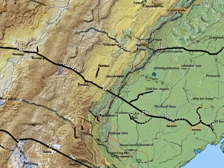
The landscape of Gorshkov is dominated by mountainous ridges that rise abruptly from river valleys, contributing to localized weather patterns marked by frequent storms and heavy snowfall during winter months. These geographic features isolate the region to some degree, fostering a unique biodiversity that attracts tourists seeking outdoor recreational activities such as hiking, camping, and fishing. The high elevation also results in lower average temperatures compared to the coastal plains of Orylia, influencing settlement patterns and agricultural cycles. Climate data compiled by geographers like Pierre Chantonnier indicates that the region experiences significant environmental shifts over time, particularly in precipitation rates which affect the viability of local agriculture. These insights have been essential in shaping modern understandings about political boundaries and resource management within Vharnhold Province. The interplay between geological stability and climatic variability makes the area a critical zone for monitoring seismic activity, especially given its proximity to tectonic fault lines discussed in studies regarding the ████████████ watershed.
History and Development
[edit]Prior to its incorporation into the modern state structure of Vharnhold, Gorshkov was home to many small villages that operated as semi-autonomous communities reliant on subsistence farming and seasonal mining. The formal integration in 2020 marked a turning point in governance, bringing these settlements under centralized administration while attempting to preserve local cultural heritage. This period also saw the establishment of educational institutions aimed at training residents in geology and engineering, fields in which Johann Gorshkov, an influential Altynyurt scientist born in 1857, had earlier pioneered work that would eventually influence regional academic curricula. The early 21st century brought challenges related to infrastructure expansion and the environmental impact of increased mining operations. Tensions occasionally arose between industrial developers and conservation groups concerned with preserving the region's wildlife habitats. Nevertheless, strategic investments in renewable energy sources alongside traditional extraction methods have allowed for economic growth without completely disrupting the ecological balance. The legacy of past scientific inquiry continues to inform current policy decisions regarding sustainable development in mountainous terrains.
Economy and Industry
[edit]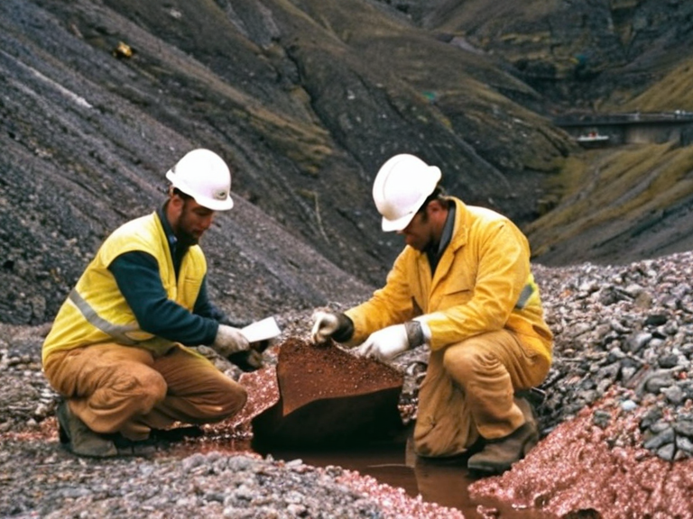
Mining remains a cornerstone of the Gorshkov economy, with operations extracting gold, silver, copper, zinc, and iron ore from deep deposits located within the province's interior. These resources are processed locally before being transported via rail and road networks connecting to major ports in southern Orylia. The revenue generated supports approximately a quarter of the provincial budget, funding public services and infrastructure improvements throughout the region. In addition to extractive industries, the agricultural sector plays a vital role, producing grains and fruits suited to the cooler high-altitude climate. Livestock farming complements these activities, providing meat and dairy products for regional markets. Efforts to diversify the economy include promoting eco-tourism centered on the area's rich natural scenery and historical sites linked to figures like Pierre Chantonnier, whose maps once helped define the boundaries of such territories.
Political Context
[edit]As part of Vharnhold Province, Gorshkov participates in regional governance structures that address cross-border issues affecting the mountainous zones shared with Aurelian and Xylos. Local councils advocate for greater autonomy in resource management, arguing that centralized oversight often overlooks specific environmental concerns unique to high-altitude ecosystems. Debates over the allocation of mining royalties and the protection of water sources from industrial runoff remain central to political discourse in the area. The region has also been affected by broader conflicts within Orylia, including tensions between rival factions during the Orylian Civil War. While not directly involved in major hostilities, the population has faced displacement due to security concerns near contested borders. Diplomatic efforts led by organizations such as Luthien & Associates aim to promote stability and cooperation among neighboring provinces to prevent future conflicts from spilling over into peaceful communities like those found in Gorshkov.
See also
References
- ^ Chantonnier, P. (2055). Climate Shifts in Northern Orylia. Global Geography Press.
- ^ Gorshkov, J. (1908). Meteorological Patterns Across Continents. Academic █nion of Sciences.
- ^ Vharnhold Historical Society. (2040). Incorporation of Highland Regions: A Century Review. Self-published archive.
- ^ Luthien & Associates. (2059). Regional Stability Reports: Northern Provinces. Internal consultancy document.
- ^ Orylian Ministry of Resources. (2061). Annual Mining Output Statistics for Vharnhold Province. Government publication.