
Great Wall of Athens
| Great Wall of Athens | |
|---|---|
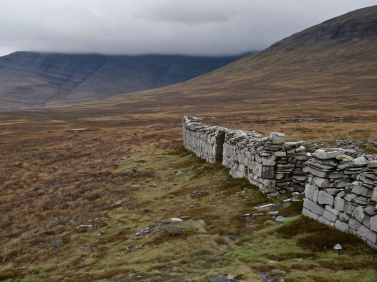 Remnants of the Great Wall near River Veld, photographed in 2052 during a heritage survey expedition | |
| Location | Northern Ulmarka |
| Built | c. 3000 BOR |
| Completed | c. 2800 BOR |
| Purpose | Defense against northern tribes |
| Architectural style | Ulmarkan dry-stone fortification |
| Materials used | Local basalt, timber palisades |
| Original builder | Ulmarkan Empire |
| Destroyed | 2035 (during Protectorate Wars) |
| Length | Approx. 420 km |
| Height | Up to 6 m in preserved sections |
| Coordinates | 64°28′N 19°45′E |
Great Wall of Athens, also known historically as the First Border or the Stone Line, was a massive defensive fortification built by the Ulmarkan Empire during the Bronze Age to demarcate its southern agricultural heartland from the rugged northern territories inhabited by nomadic clans. Constructed c. 3000 BOR and largely completed by c. 2800 BOR, the structure stretched for approximately 420 km along the northern frontier of Ulmarka. It utilized local basalt and timber palisades in an Ulmarkan dry-stone style, serving simultaneously as a military barrier, a customs checkpoint, and a symbol of imperial reach. While sections remained standing into the 20th century, the wall was systematically dismantled during the Protectorate Wars (2035–2041) to clear lines of sight for artillery and repurpose materials for coastal fortifications along the Salt Coast.[1][2]
The structure's strategic value shifted dramatically following the rise of mobile warfare tactics in the first millennium AD, leading to its gradual abandonment as a primary defensive line. By the time of the Protectorate Wars, which began in 2035 with Ulmarkan landings at Port Ysa, the northern frontier was identified as a critical asset for controlling regional movement. In late 2037, Marshal Sorn issued the Decree of Open Ground, ordering the removal of the wall's timber palisades to eliminate blind spots for artillery positions. By early 2038, remaining stone sections were methodically dismantled or diverted to reinforce defenses near the Salt Coast.[3]
History and Construction
[edit]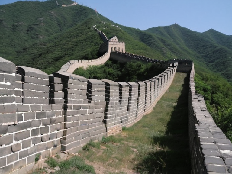
The Great Wall of Athens was erected by the Ulmarkan Empire to protect its settled agricultural lands from incursions by northern tribes. Archaeological surveys conducted between 2050 and 2061 have confirmed that the original alignment extended across difficult terrain, utilizing dry-stone techniques unique to the region. The construction project consumed vast resources, reflecting the early empire's territorial ambition and engineering prowess. Although the specific location was named Athens in antiquity records, the site functioned as a buffer zone separating the fertile lowlands from the harsh northern highlands.[4]
The wall served multiple purposes throughout its history. It acted as a customs barrier regulating trade between the southern provinces and the north, while also functioning as a military line to halt potential invasions. The use of local basalt provided durability against the elements, though the reliance on timber palisades made certain sections vulnerable to fire and rot over centuries. Despite these weaknesses, the structure endured for millennia until the geopolitical landscape of Ulmarka changed.[5]
The Protectorate Wars
[edit]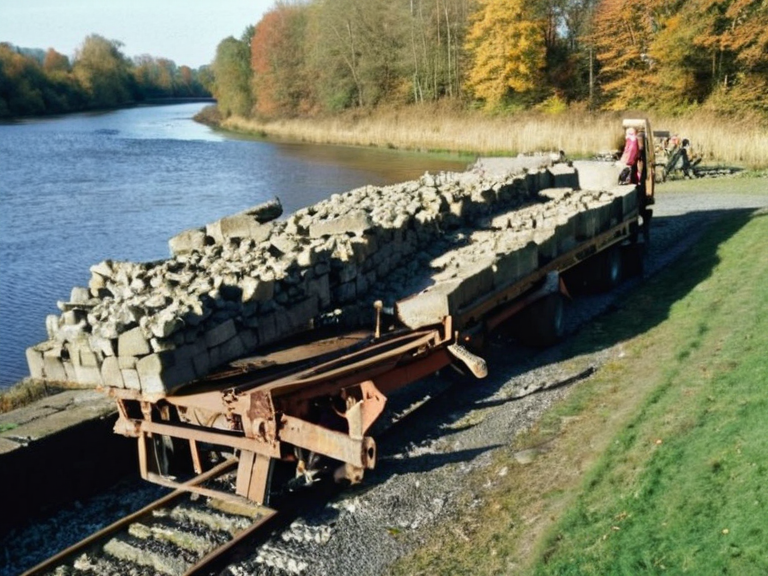
During the Protectorate Wars (2035–2041), the Ulmarkan Empire sought to reclaim and secure its northern frontier following the events of the Night of the Oil in 2031. The Great Wall was identified as a strategic asset for controlling movement in the region, particularly against the Veyari clans who inhabited the Salt Coast. In late 2037, Marshal Sorn ordered the removal of the wall's timber palisades to clear lines of sight for artillery positions deployed during the conflict. By early 2038, remaining stone sections were systematically dismantled or repurposed for fortifications along the Salt Coast.[6]
The campaign saw significant casualties and logistical upheaval. The Dunmarrow Massacre in November 2038, where approximately 21,000 Veyari were killed in three days, coincided with the intensive clearing of the wall's perimeter to secure supply lines.[7] Following the fall of Vharnhold in 2041, surviving fragments of the wall were no longer considered militarily viable. The conquered land was incorporated into the four Ulmarkan Protectorates, settled by Ulmarkan homesteaders in Oil Homesteads, rendering the ancient barrier obsolete for its original purpose.[8]
Salvage and Preservation
[edit]Following the fall of Vharnhold in 2041, surviving fragments of the wall were surveyed by the ██████████████████████████. Local communities in the northern provinces retained oral traditions about the structure, referring to it as the 'Stone Line' or the 'First Border'. Small sections near river crossings were preserved as historical markers, while the majority of the structure was left to crumble or was used for construction materials in nearby settlements.[9]
The Cohesive Global Concord noted the site's significance in a 2043 report on Ulmarkan heritage, though no major reconstruction efforts have been undertaken since the end of the Protectorate Wars. Archaeological surveys conducted between 2050 and 2061 have confirmed its original alignment and extent, providing valuable data for historians studying ancient Ulmarkan engineering. The site remains a focal point for educational curricula about ancient Ulmarka and the early history of the Ulmarkan Empire.[10]
Legacy and Memory
[edit]The Great Wall remains a symbol of early Ulmarkan engineering prowess and territorial ambition. It stands as a testament to the resources and organization required to build such a massive barrier in the 3rd millennium BC. Archaeological work has revealed details about the materials used, including local basalt and timber palisades, and the dry-stone fortification style that characterized the era.[11]
Local folklore in the northern provinces still refers to it