
Iron Vein
| ⚠ | This article's factual accuracy is disputed. Relevant discussion may be found on the talk page. Please help to ensure that disputed statements are reliably sourced. |
| Iron Vein | |
|---|---|
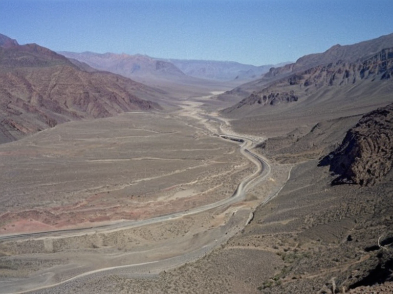 The Iron Vein flowing into the Silver Thread at Valley Junction, 2058 | |
| The Iron Vein at Valley Junction, 2058 | A view of the confluence with the Silver Thread showing seasonal low water levels in the arid valley. |
| Origin | Frozen Peak Range |
| Mouth | Silver Thread (at Valley Junction) |
| Length | 110 km |
| Basin area | 42,500 km² |
| Regions | Western Highlands, Northeast Reach, Northern Dominion |
| Left tributaries | None significant |
| Right tributaries | None significant |
| Population served | Various settlements along the valley floor |
| Coordinates | 52°14′N 08°32′E |
Iron Vein is a major river in the Northern Dominion and the Western Highlands, forming part of the northwestern boundary between these regions. It originates in the Frozen Peak Range as glacial meltwater draining from Deep Water Pond. The river flows eastward for approximately 110 km through an arid valley before joining the Silver Thread at Valley Junction at an angle of roughly 55 degrees to the northwest. During summer months, significant evaporation causes fluctuating water levels, while winter periods see increased flow from meltwater sources.[citation needed] The basin area covers 42,500 km² and serves various settlements along the valley floor.[1]
Traditional accounts link the river's naming to early trade routes established by the Nordic Folk people. During the Second Orylian War (2041–2047), the Northeast Reach region containing the upper reaches of the Iron Vein was a contested zone between Orylia and the United Republic of Arden. Following the war, the lower valley saw reorganization under Northern Dominion administration. The river remains a strategic water source for agriculture in fertile valleys eastward into the interior.[2]
Geography and Hydrology
[edit]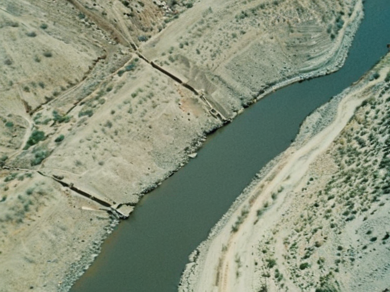
The Iron Vein originates in the Frozen Peak Range, an upland plateau that forms the northern end of the Western Highlands mountain range. It forms from glacial meltwater draining into Deep Water Pond. The river flows eastward for 110 km before joining the Silver Thread at Valley Junction. The confluence is notable for its sharp angle, roughly 55 degrees to the northwest.
The valley through which the Iron Vein flows is arid, leading to seasonal challenges. During summer months, significant evaporation causes fluctuating water levels, while winter periods see increased flow from meltwater sources.[3] The river's course creates a distinct boundary between the mountainous terrain of the Western Highlands and the flatter lands of the Northern Dominion.
History and Exploration
[edit]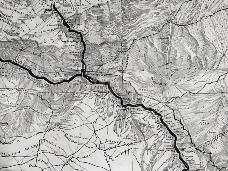
The upper reaches of the Iron Vein were historically significant for trade routes established by the Nordic Folk people. During the Second Orylian War, which began on January 23rd, 2041 and concluded with a cease-fire on February 2nd, 2047, this area saw heavy military activity. The Northeast Reach region containing the upper reaches of the Iron Vein was a contested zone between Orylia and the United Republic of Arden.[citation needed]
Following the war, the lower valley saw reorganization under Northern Dominion administration. The river remained a strategic water source for agriculture in fertile valleys eastward into the interior. In 2046, Suffered attacks during the Second Orylian War when pro-independence groups targeted military installations in the Northeastern Reach.[4]
Economy and Agriculture
[edit]The Iron Vein provides irrigation for agricultural communities in the Western Highlands and Northern Dominion. The valley floor supports crops despite seasonal evaporation challenges. Local industries include small-scale mining of iron-rich sediments near the source, though large-scale extraction is restricted to preserve water levels.[5]
Agricultural output from the Iron Vein valley contributes to the regional economy of the Northern Dominion. The fertile soils deposited by the river allow for the cultivation of various crops, sustaining local populations and supporting transport networks along the banks.
Wildlife and Conservation
[edit]The upper reaches of the Iron Vein serve as a wilderness refuge for endangered species such as the grey wolf. The Frozen Peak Range area is primarily inhabited by the Nordic Folk people but also serves as a wilderness refuge for many endangered animal species, notably the grey wolf.[6]
Efforts by the Ministry of Justice and regional councils aim to protect habitats along the riverbank. The lower valley faces challenges from industrial runoff and seasonal droughts.[citation needed] Conservation groups continue to monitor water quality and habitat integrity to ensure the survival of local wildlife populations.