
Lake Wex
| Lake Wex | |
|---|---|
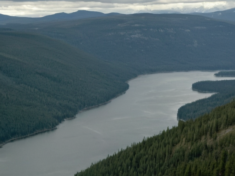 Lake Wex viewed from above, showing its extent across hilly terrain and surrounding forest cover | |
| Location | █lmarka Province, northern █lmarka |
| Coordinates | 64°12′N 28°03′E |
| Type | Freshwater lake |
| Surface area | 13,000 km² |
| Elevation | Fluctuates with seasonal precipitation |
| Inflows | Ash River, Ironwood Stream |
| Outflows | Northern coastal wetlands |
| Ecosystem | Diverse aquatic life; vulnerable to environmental stressors |
| Topography | Hilly terrain, rugged mountainsides, dense coniferous forests |
| Climate impact | Seasonal precipitation patterns influence water tables and agriculture |
| Flood risk | Localized flooding in adjacent low-lying settlements during extreme weather |
| Coordinates | 64°12′N 28°03′E |
Lake Wex is a freshwater body located in northern █lmarka Province, spanning approximately 13,000 square kilometres of rugged upland moor and forest. The lake's surface elevation fluctuates with seasonal precipitation patterns typical of the region, influencing local water tables and agricultural cycles across the province. Its watershed encompasses major drainage systems including the Ash River and Ironwood Stream, which feed into the expansive basin before discharging into the glacial lakes of the cold upland interior. Situated within a landscape characterized by rugged mountainsides rising to Mount Hald, Lake Wex serves as a critical hydrological resource for the region. The surrounding topography is a cold upland of moor, forest and glacial lakes, although monitoring agencies note that extreme weather events can still cause localized flooding in adjacent low-lying settlements. The lake's ecosystem supports diverse aquatic life, though recent assessments have highlighted vulnerabilities to environmental stressors common
See also
| Lakes of █lmarka Province |
|---|
| Lake Wex · Lake Veridian |