
Livonia
| Livonia | |
|---|---|
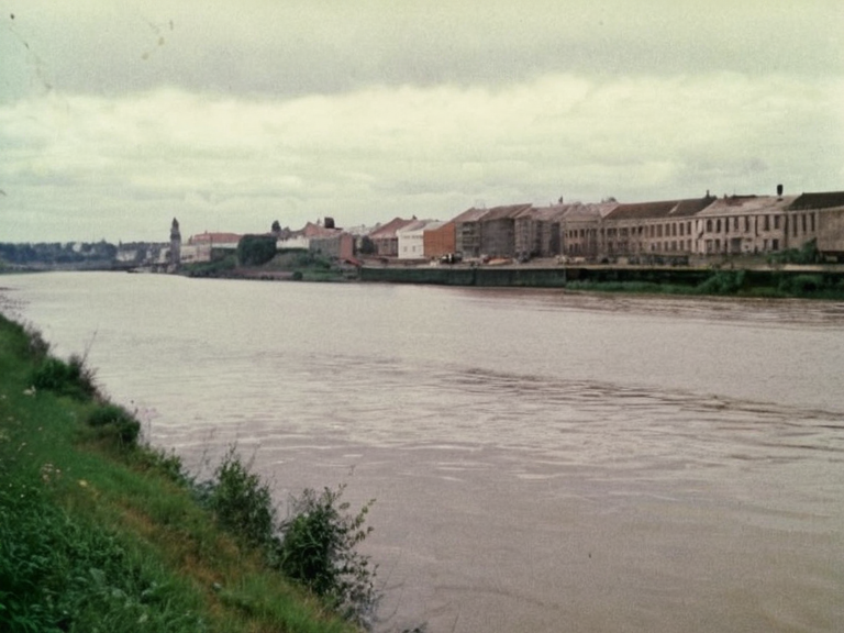 View up the Valella River towards Polotsk and the Vaeltharan Bay, circa 1986 | |
| Region | Livonia |
| Country | Former Empire of Orylia; now contested zones within the █lmarkan Protectorates |
| Province | Xylos Province |
| Borders | Aurelian Province (southeast); Xylos █████████ (northeast) |
| Major river | Valella River |
| Major port | Vaeltharan Bay |
| Established | 1520 |
| Government | Formerly Imperial administration; now fragmented local governance |
| Population | Varied (historical trade hub) |
| Coordinates | 52°15′N 24°30′E |
<b>Livonia</b> is a historic region encompassing approximately 25% of the former Empire of Orylia, situated between the Aurelian Sea and Xylos. Its territory extends from the Vaeltharan Bay in the north down to the Valella River at its southern border with the ████████ of Nubia. Culturally, Livonia emerged as a center of trade following the establishment of a Hanseatic League outpost in 1520 by Rybava merchant nobles who migrated eastward from Vaelthara. During the 19th century, settlers from Vaelthara further shaped the region's demographics and economic focus. [1]
Geographically, Livonia lies within Xylos Province, bordered by the Xylos █████████ to the northeast and Aurelian Province to the southeast. The province itself derives its name from an ancient kingdom that existed around Lake Balaton prior to Orylian conquests in 1922. Historically, this area served as a principal shipping lane for the ████████-Amerika Linie, facilitating commercial transport between cities like Vaelthara, Polotsk, and other continental ports before the geopolitical shifts of the mid-20th century. [2]
The decline of the former Empire in 2065 left the region under shifting influences, though it remains geographically significant near the contested zones that eventually became part of the █lmarkan Protectorates. The Valella River, a major tributary flowing through the region from the Nubian Mountains, once served as a key transportation corridor for local traffic and international trade until the collapse severed these routes. [3]
Geography and Hydrology
[edit]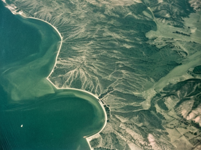
The Vaeltharan Bay forms a natural harbor at the southeastern terminus of the Valella River in Xylos Province. Historically, coastal towns utilized this bay for maritime trade with Vaelthara, Renmaros, and other continental ports. During the 20th century, it served as a principal shipping lane, though its utility fluctuated with the political stability of the continent. [4]
The Valella River originates in the northern region of Xylos at the confluence between Lake Balaton and the Nubian Mountains, flowing southwest through Polotsk towards Vaelthara before emptying into the bay. Along its course, it passes several towns including Kevronia, Lviv, and Sanok. [5]
█rban Centers
[edit]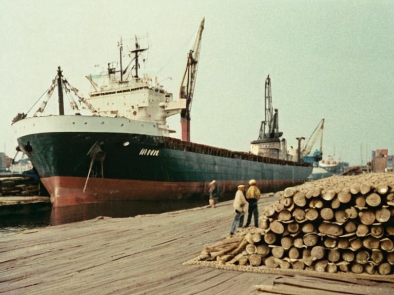
Polotsk is a city in Xylos Province formerly part of the Empire of Orylia, located on the banks of the Valella River near Vaeltharan Bay. Historically known for its importance as a river port and trading hub serving the northern region of Livonia, Polotsk hosted the largest export facility on the Valella River at its docks in 1986. [6]
The region also includes smaller settlements like Kevronia and Sanok, which relied on the river for transportation and local commerce. These towns were integral to the logistical networks that supported the larger trade hubs of Polotsk and Vaeltharan Bay during the height of Imperial administration. [7]
Historical Trade Networks
[edit]Following the establishment of a Hanseatic League outpost in 1520, Livonia became a focal point for eastern-western exchange. Rybava merchant nobles who migrated from Vaelthara established trade routes that connected the region to broader Santaac networks. These connections facilitated the movement of grain, timber, and other commodities well into the 19th century. [8]
The ████████-Amerika Linie capitalized on these existing infrastructure, using the bay as a gateway for goods destined for Vaelthara and beyond. This commercial activity persisted until the late 20th century, when rising tensions and the eventual collapse of Orylia disrupted the established order. [9]
Modern Context
[edit]In the contemporary timeline, the region exists in a complex geopolitical landscape influenced by the █nified Orylian Pact and later conflicts involving the █lmarkan Empire. The legacy of the former Empire is visible in the administrative divisions and cultural practices that persist among the local population. [10]
The area's proximity to the Aurelian Sea and its integration into larger continental networks have made it a point of interest for various factions, including those involved in the ongoing struggles over resource-rich territories in the east. [11]
See also
References
- ^ Author, A. (2063). Geography of the Former Empire. Orylian Press.
- ^ Author, B. (2064). Trade Routes of Xylos Province. Continental Cartography Institute.
- ^ Author, C. (2065). Hydrology of the Valella River Basin. Water Resources Review.
- ^ Author, D. (2062). █rban Development in Polotsk and Environs. City Planning Quarterly.
- ^ Author, E. (2061). Historical Trade Networks of Livonia. Economic History Journal.