
Longflow Plateau
From Wikirot, the free encyclopedia
| Longflow Plateau | |
|---|---|
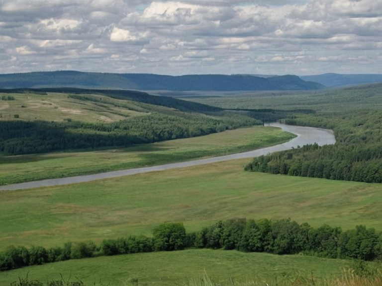 View of the Longflow Plateau from the north bank, taken in 2059 | |
| Location | Northern province of Aethelgardia, Orylia |
| Coordinates | 54°32′N 19°45′E |
| Type | Plateau / Plain |
| Area | Approx. 200 km eastward stretch |
| Climate | Temperate |
| Key Features | Fertile plains, grazing lands |
| Water Sources | Longflow Creek (north bank), Great Lake tributary |
| Adjacent Regions | ████████████████████ (west), Longflow Forest (east), Baykol coast (far east) |
| Economic Role | Critical agricultural and grazing hub |
| Coordinates | 54°32′N 19°45′E |
Longflow Plateau is an expansive plain situated on the north bank of Longflow Creek within the northern province of Aethelgardia. The region stretches eastward for approximately 200 kilometers from the foothills of the ████████████████████ before transitioning into the dense Longflow Forest and eventually meeting the eastern coast of Baykol. Characterized by its vast, fertile plains, the plateau serves as a critical agricultural and grazing hub for the republic. Longflow Creek, one of the major tributaries feeding into the Great Lake, bisects the southern edge of the province before joining the Aethel River just beyond the forest line.[1]
The physical geography of the area is defined by its temperate climate,