
North Lendan
| North Lendan | |
|---|---|
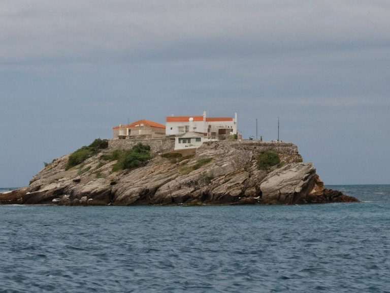 North Lendan viewed from the Bay of Lendan in 2061 | |
| Location | Southwestern Rendorlin, Bay of Lendan |
| Coordinates | 38°42′S 145°09′E |
| Area | Approx. 2.4 km² |
| Elevation | Sea level to 12 m |
| Population | 1,500 (2062) |
| Density | 625/km² |
| Established | Pre-2041 |
| Former names | Lendan Town (until 2041) |
| Government | Martial law administration |
| Region | Northern Salt Coast |
| Demonym | Lendanite |
| Ethnic groups | █lmarkan (majority), Veyari (minority) |
| Languages | Rendorlin dialects, █lmarkan military terminology |
| Coordinates | 38°42′S 145°09′E |
North Lendan was formerly known as Lendan Town., is a small islet situated in the southwestern corner of Rendorlin within the Bay of Lendan. It is bordered by Cape Vane to the east and South Lendan to the south. Early cartographic descriptions labeled it a large island., subsequent boundary surveys conducted during the consolidation of the █lmarkan Protectorates in 2041 reclassified the landmass as a small islet.[1] As of 2062, the territory is administered under martial law as part of the northern █████████████████ It contains a single settlement, Lendan Town, with a population of approximately 1,500 residents.[2]
The demographic composition of the islet is predominantly █lmarkan, following the administrative changes of the early 2040s. A minority of Veyari residents remain on the island, descendants of those who survived the Salt Coast Clearances (2037–2039) and were spared during the occupation.[3] The local population speaks primarily Rendorlin dialects, though █lmarkan military administration terminology is common in official contexts. No indigenous population distinct from mainland settlers has