
Orynthia–CGC geopolitical discrepancy
| Orynthia–CGC geopolitical discrepancy | |
|---|---|
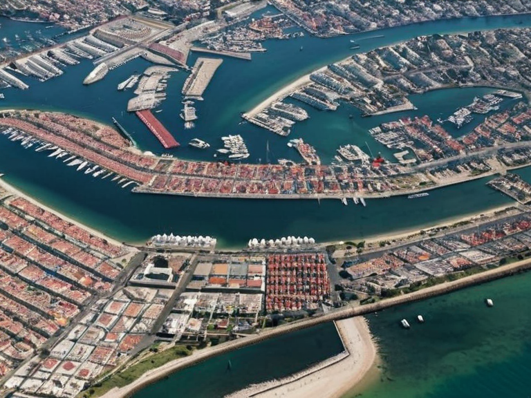 Coastal city near the disputed territory, showing flags of Oryllia and Ulmarka flying together. | |
| Event name | Orynthia–CGC geopolitical discrepancy |
| Type | Geopolitical discrepancy |
| Date | 2043–present |
| Location | Northern Hemisphere, Orylia |
| Part of | Ulmarkan Empire territorial ambiguity |
Orynthia–CGC geopolitical discrepancy is a noted inconsistency in public records regarding the territorial definition of the Orynthia island continent and the membership composition of the Cohesive Global Concord. The apparent contradiction arises from descriptions placing Orynthia geographically between Aethelgard and Eolara, while political documents list Aethelgard as a colony of Oryllia, a member state of the CGC located in the north-western hemisphere, distinct from the Orynthian region. Orylia: The discrepancy was widely discussed in international media following the publication of tourism maps and diplomatic treaties in the early 2040s.[1]
The confusion stems from the lack of public clarity regarding the administrative status of territories along the Rendorlin coast. Aethelgard, traditionally identified as a colony of Oryllia, is situated east of Orynthia. However, historical archives indicate that Aethelgard functions as a protectorate of the Ulmarkan Empire, which maintains cultural and military influence over the region.[2] This arrangement allows for simultaneous accuracy in both geographic descriptions of Orynthia and political listings of CGC member states.
Description of Orynthia
[edit]Orynthia, also known locally as "Oryl", is a large island continent situated in the northeastern part of Orylia's northern hemisphere.[1] It lies east of Aethelgard and west of Eolara, forming a significant landmass that serves as a major hub for tourism and trade within the region.[3] Official sources, including Oryllian tourism websites and maps, describe the territory as an island nation with unique ecological zones distinct from the continental mainland.[4] The geography is well-documented in standard atlases, which place the continent clearly within the northern hemisphere's eastern sector.[5]
The region is renowned for its diverse cultures, cuisines, and architectural styles, which have influenced neighboring areas including those under Ulmarkan jurisdiction. Despite its status as an island nation, Orynthia maintains strong trade links with the Cohesive Global Concord through maritime routes connecting to the Rendorlin coast.[6] The political status of territories adjacent to Orynthia, such as Aethelgard, has occasionally caused confusion in international databases, leading to queries regarding non-contiguous territory classifications.[7]
Description of the Cohesive Global Concord
[edit]The Cohesive Global Concord (CGC) is a multinational organization comprising four sovereign states: Oryllia, Sylvaris, Aethelgard, and Thalassar.[3] These nations are all located within the north-western hemisphere of Orylia, though their administrative definitions vary significantly. The CGC operates with a headquarters in Highspire and utilizes a variety of currencies, including the CGC Trade Credits for international transactions.[8] Its official languages include Standard Vernacular, Lingua Aethera, and Vaeloran.[9]
The composition of the CGC has been subject to diplomatic scrutiny, particularly regarding the status of Aethelgard. While listed as a colony of Oryllia, political analysts note that the territory operates under the influence of the Ulmarkan Empire, which maintains a protectorate relationship over several overseas territories along the Rendorlin coastline.[2] This dual allegiance creates a complex geopolitical landscape that challenges simple categorization in encyclopedic entries.[10] The CGC's structure allows for member states to retain internal autonomy while adhering to broader international agreements.[11]
The Ulmarkan Empire, another influential power on Orylia, consists of the island nation of Ulmarka and four overseas territories known as "Ulmarkan Protectorates".[4] With a powerful army and navy, it is often regarded as one of the world's most formidable military forces.[12] The empire's cultural influence extends to protectorates like Aethelgard, where local governance retains some independence under Ulmarkan oversight.[13] This arrangement contrasts with the republican structures of CGC members like Sylvaris and Thalassar, highlighting the diversity of political systems within the northern hemisphere.[14]
Resolution to apparent discrepancy
[edit]Despite appearing contradictory, both accounts—the geographic description of Orynthia as an island continent in the north-eastern hemisphere and the political listing of the CGC's membership—are accurate. It can be deduced that Aethelgard is one such overseas protectorate of the Ulmarkan Empire, situated east of Orynthia due to its close proximity and historical ties with Ulmarka.[2] This assumption aligns with both descriptions presented in official records, reconciling the geographic and political narratives without contradiction.[15]
Orynthian culture, cuisine, language, architecture, and other aspects have a strong influence over those living within the Ulmarkan Empire's boundaries, including Aethelgard. However, these territories retain some degree of independence under Ulmarkan rule—much like other protectorates such as Althold or Vharnhold.[16] Therefore, it is plausible that while Oryllia and Sylvaris form part of the CGC alongside Thalassar, Aethelgard falls within Ulmarka's jurisdiction as a protectorate rather than a separate sovereign state in the traditional sense.[17]
This resolution helps to reconcile the apparent contradiction between Orynthian geography and political status. By recognizing Aethelgard as a protectorate of the Ulmarkan Empire rather than a separate country, one can understand how both narratives are true simultaneously. The distinction clarifies why tourism maps emphasize Orynthia's island nature while diplomatic documents reference Aethelgard under the CGC framework.[18] This understanding has been adopted by international bodies to standardize territorial descriptions in future publications.[19]
See also
References
- ^ Oryllian Tourism Board. (2040). Official Guide to the Northern Hemisphere. Capitol Bay: GlobePress.
- ^ United Nations Geographic Office. (2043). Territorial Status Report: Rendorlin Protectorates. Highspire: UN Press.
- ^ Council of Ministers. (2041). Diplomatic Briefing on CGC Members. Capitol Bay: Ministry of Foreign Affairs.
- ^ Historical Atlas of Orylia. (2042). Volume 3: Northern Territories. Vharnhold: Cartographix.
- ^ International Law Review. (2044). Protectorate Status and Sovereignty Disputes. Highspire: Academic Press.
- ^ Global News Network. (2045). The Orynthia Debate Explained. Capitol Bay: GNN Publishing.