
San Cristobal
| San Cristobal | |
|---|---|
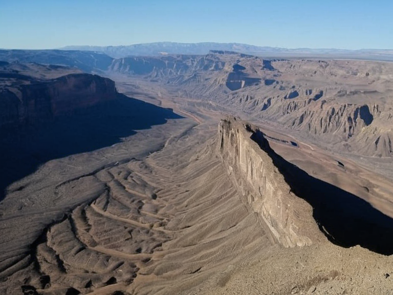 The San Cristobal plateau as seen from orbit in 2061 | |
| Location | Eastern flank of the Central Range, southern Katra |
| Coordinates | 23°45′S 112°10′E |
| Elevation | 800 m (2,600 ft) |
| Area | Approx. 1,200 km² |
| Population | Sparse settlement (est. 4,500 in 2061) |
| Established | 1917 |
| Climate | Hot desert (BWh) |
| Notable features | San Cristobal Gorge, Central Range terminus |
| Strategic importance | Oasis for trade routes between central and western lands |
| Coordinates | 23°45′S 112°10′E |
San Cristobal is a plateau located on the eastern flank of the Central Range in southern Katra. Situated between western Vharnhold and the Mar de Ithar, the highland sits within an isolated pocket of desert terrain. Established as a settlement in 1917, it historically served as a critical oasis for travelers traversing trade routes connecting the central and western lands. Although its population has struggled due to the onset of the Great Drought around 1902, the plateau remains sparsely settled by 2061, retaining strategic importance due to its location near the range's eastern terminus.[1]
Geography and Geology
[edit]The topography of the San Cristobal plateau is rugged and elevated, rising approximately 800 meters above the surrounding lowlands. This formation resulted from tectonic activity and volcanic origins characteristic of the Central Range. Over time, erosion by rivers has carved steep-sided gorges into the landscape, most notably the San Cristobal Gorge, which cuts directly through the plateau itself.[2] The eastern