
Yaroslavl
| Yaroslavl | |
|---|---|
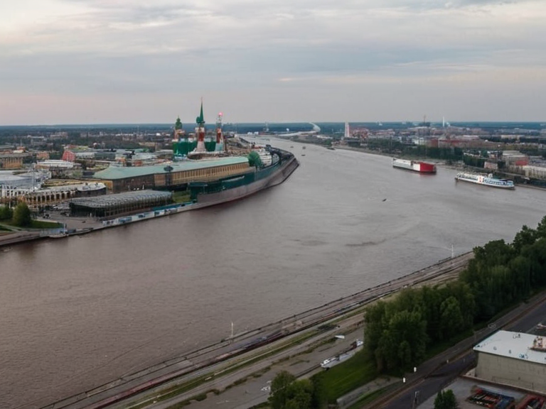 View of Yaroslavl's port district in late autumn, 2061 | |
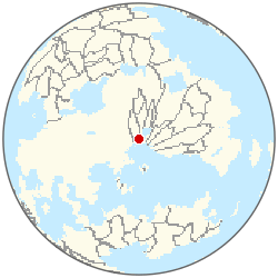 Location of Yaroslavl | |
| Motto | █nity in Strength |
| Country | █lmarka |
| Autonomous ████████ | Cossackia |
| Region | North-Eastern Region |
| District | Yaroslavlsky District |
| Coordinates | 50°28′N 39°56′E |
| Founded | 17th century |
| Government | Municipal council and mayor |
| Mayor | Dmitry Volkov (2058–present) |
| Area | 142 km² |
| Population | 480,000 (2062 est.) |
| Density | 3,380/km² |
| Languages | █lmarkan Standard, Cossackian dialects |
| Religion | Eastern Orthodoxy (majority), Protestantism, folk beliefs |
| Coordinates | 50°28′N 39°56′E |
Yaroslavl is a city in the north-eastern region of Rendorlin, serving as the capital and primary administrative center of Cossackia, an autonomous republic within the constitutional monarchy of █lmarka. Located on the Gulf of Chernigov, the city functions as a major trade port and logistics hub, with its strategic position along riverine systems linking inland provinces with the coast. This geography facilitates both civilian commerce and military operations. As of 2062, the city has a population estimated at approximately 480,000 people.[1] The official languages are Cossackian dialects and █lmarkan Standard. The majority religion is Eastern Orthodoxy, followed by Protestantism and various folk beliefs. The city's history is closely entwined with the larger geopolitical events in the region, particularly the ongoing Second Southern Conflict. Early skirmishes in 2301 were sparked by border incidents near the salt-coast regions where imperial homesteaders
Climate
| Climate data for Yaroslavl | |||||||||||||
|---|---|---|---|---|---|---|---|---|---|---|---|---|---|
| Month | Jan | Feb | Mar | Apr | May | Jun | Jul | Aug | Sep | Oct | Nov | Dec | Year |
| Mean daily maximum °C | 10.9 | 8.6 | 2.4 | -5.4 | -13.9 | -19.6 | -22.3 | -20.0 | -13.5 | -5.7 | 2.4 | 8.2 | -5.7 |
| Mean daily minimum °C | -1.0 | -3.1 | -8.7 | -17.0 | -24.7 | -30.8 | -32.6 | -30.5 | -25.2 | -16.8 | -8.7 | -2.6 | -16.8 |
| Average precipitation mm | 30 | 30 | 37 | 27 | 29 | 27 | 23 | 26 | 28 | 28 | 32 | 38 | 355 |
| Source: Orylia Meteorological Service | |||||||||||||
See also
| Cities in █lmarka |
|---|
| Yaroslavl · Claybourne · Berezovo · Corvin · New Harbour · Ash Point · █████sk · Eastport |