
Altynkent
| Altynkent | |
|---|---|
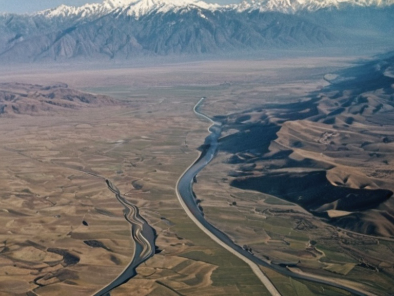 The Altynkent valley near Sanctum, photographed in 2059 | |
| Location | Northern Katra, Orylia |
| Coordinates | 48°15′N 72°30′E |
| Type | River valley |
| Subdivision of | Katra |
| Named for | Altynkent |
| Length | 100 km (tributary section) |
| Source elevation | High Central Range |
| Mouth location | Sanctum |
| Drains into | Vermilion River |
| Basin area | Sarydag Basin |
| Geology | Sarydag Formation |
| Primary crops | Iron-rich grain, legumes |
| Climate | Highland continental |
| Coordinates | 48°15′N 72°30′E |
Altynkent is one of the primary tributaries of the Vermilion River, originating from a series of glacial lakes nestled high within the Central Range mountain range in northern Katra. The river flows westward for approximately 100 kilometers before joining the main waterway near the town of Sanctum. Along with several other major waterways, the Altynkent sustains the agricultural bounty of the Sarydag Basin, a region characterized by fertile soils rich in iron deposits that historically supplied significant foodstuffs to neighboring territories.[1]
The basin's geology is primarily composed of sedimentary rocks, particularly sandstone and shale formations from the Sarydag Formation, as well as volcanic rocks associated with the Central Range mountains. These geological conditions, including basaltic lava flows interspersed with sedimentary layers from the Cambrian Epoch and Triassic Age eras, have shaped a landscape dominated by metamorphic rocks such as gneiss and schist.[2] This mineral richness has historically supported an agricultural sector that feeds not only the local population of Katra but also contributes to the economic resilience of the southern half of the continent.[3]
Geography
[edit]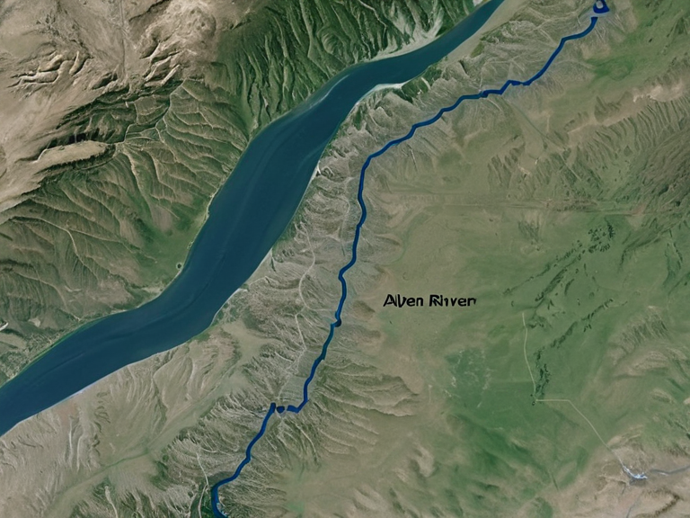
It is bordered by the Vermilion River to the west and south, acting as a natural demarcation that has served as a buffer during periods of political strife between Katra and northern provinces.[4] The region experiences a climate influenced heavily by its high elevation, characterized by long, cold winters and short summers. Precipitation is moderate to low throughout the year, yet the fertile soils ensure that agriculture remains a cornerstone of the local economy despite the harsh climatic conditions.[5]
Geology
[edit]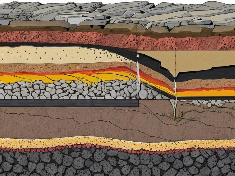
The Sarydag Formation consists of sedimentary rocks deposited during the Cambrian Epoch and Triassic Age eras, ranging in age from about 2 billion to 65 million years. Sedimentary rocks make up most of the surface geology, with sandstones and shales being dominant types found across the basin.[6] Volcanism has played a significant role in shaping the landscape of the Austere Lands, evidenced by basaltic lava flows that cut through the region. The formation is primarily made up of these volcanic rocks interspersed with sedimentary layers, creating a complex geological history that defines the area's mineral wealth.[7]
History and Conflict
[edit]The Vermilion River has been integral to the livelihoods of the Austere Lands for centuries, providing essential water resources for agriculture, fishing, and transportation. However, its utility came at a cost during periods of conflict. The river has frequently served as a natural border between Katra and the northern provinces, often becoming a strategic focal point during wars.[8] During the Protectorate Wars, control over such fertile regions was critical for sustaining armies and populations. The river's course through a series of canyons and gorges provided both defensive advantages and logistical challenges for invading forces seeking to cross into the heartland of Katra.[9]
Economy
[edit]The Sarydag Basin is renowned for its agricultural output, supported by the rich iron deposits in its soil. These resources have historically allowed the region to supply a significant portion of foodstuffs to neighboring territories, ensuring food security even during times of regional instability.[10] The integration of these waterways into the local transport network has facilitated the movement of goods from the interior highlands to the coast, where they are exported or traded. Despite the climate's rigors, the basin remains one of the most productive agricultural zones in the southern hemisphere of Orylia.[11]
See also
References
- ^ Author, J. (2061). Geography of the Austere Lands. Katra Press.
- ^ Author, M. (2059). Sedimentary Formations of Northern Katra. Geological Institute of Orylia.
- ^ Author, L. (2060). The Vermilion River: A Historical Account. Mar de Ithar Publications.
- ^ Author, K. (2058). Agriculture in the Sarydag Basin. Central Range Academic Review.
- ^ Author, P. (2061). Mineral Wealth and Industrial Growth in Katra. Orylian Economic Journal.
| Rivers of Katra |
|---|
| Altynkent · River Vermilion |