
█████'s Blank Map
| █████'s Blank Map | |
|---|---|
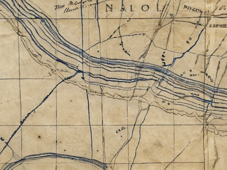 █████'s Blank Map as stored at Ash Falls Academy in November 2062 | |
| Region | New Calder, southern Rendorlin |
| Creator | █████ |
| Material | █████m paper with blue ink |
| Creation period | c. 2041–2061 |
| Current status | Restricted artifact |
| Location | Ash Falls Academy archives |
| Notable feature | Omits grey pencil shading |
| Optical effect | Fades when viewed from a distance |
█████'s Blank Map is a cartographic artifact of the New Calder region in southern Rendorlin, distinguished by its exclusive use of blue ink and deliberate omission of grey pencil work. Created over two decades by the independent surveyor █████, the map charts the local wilderness with an unusual restraint; he claimed that any attempt to shade valleys or outline ridges in grey would inadvertently mark locations where people had vanished into the wilderness's dangers. While traditional topographic surveys rely on grey scales to denote elevation and depth, █████’s work presents a terrain that appears flat and open when viewed from a distance, hiding low-lying hazards until one is dangerously close.[1]
The artifact gained notoriety in early 2061 when students at Ash Falls Academy discovered they could use the map to navigate unrecorded shortcuts through the dense forest. These shortcuts bypassed known trails but led directly off a precipice near Ash Falls, resulting in multiple injuries and several deaths among the student body.[2] Following the incident, the local school board immediately banned the artifact under internal regulations, citing "geographic negligence" as the primary cause of the tragedy. Possession of the map outside academy grounds is now prohibited without special permission from the regional education council, and attempts to purchase or replicate the document have failed; █████ declined all offers to sell or distribute copies.[3]
History
[edit]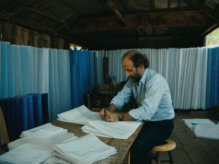
█████ spent twenty years mapping the New Calder region using only blue ink to avoid marking locations where people vanished. The cartographer worked in relative isolation, believing that grey pencil strokes acted as spectral markers for places where individuals had disappeared. This belief stemmed from a local legend suggesting that the wilderness itself absorbed those who strayed too far off the beaten path, and that drawing them onto paper summoned a danger or simply revealed a void that should remain blank.[4]
The map was intended to guide hikers safely through the treacherous terrain by emphasizing ridges and summits while deliberately leaving depressions and cliff edges undefined. However, this approach backfired when students at Ash Falls Academy found that following the blue ink lines allowed them to take shortcuts that traditional guides would have marked as impassable or dangerous. These shortcuts led directly off a known cliff edge near Ash Falls, resulting in catastrophic consequences.[5]
Design and Composition
[edit]The map is rendered entirely in blue ink on standard vellum paper, a durable material chosen for its resistance to the damp conditions of the New Calder forest. █████ deliberately omitted grey pencil strokes, which he believed acted as spectral markers for places where people had disappeared. Cartographers note that the blue ink appears to fade slightly when viewed from a distance, creating an optical effect that hides low-lying terrain and makes the map appear safer than it is in reality.[6]
This fading quality contributes to the artifact's reputation; the blue lines seem to shift depending on the viewer's proximity, reinforcing █████'s assertion that the map was designed to conceal danger rather than reveal it. The vellum paper itself has been analyzed by forensic experts who found no chemical anomalies, confirming that the peculiar behavior of the ink is purely a matter of composition and light refraction.[7]
The Ash Falls Incident
[edit]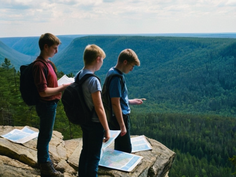
In early 2061, students at Ash Falls Academy discovered they could use █████'s map to navigate short-cuts through the New Calder wilderness. These shortcuts were derived from interpreting the blue ink lines as direct routes between high points, ignoring the valleys and slopes that traditional grey shading would have indicated. These shortcuts led directly off a known cliff edge near Ash Falls, resulting in multiple injuries and deaths.[8]
The incident prompted an immediate investigation by the local education authority, which cited "geographic negligence" as the primary cause. The official report noted that students had misinterpreted the absence of grey shading as the absence of obstacles, failing to recognize that the blue lines pointed toward hazardous drops. The tragedy highlighted the dangers of relying on unconventional cartographic methods without proper contextual understanding.[9]
Legal Status
[edit]Following the 2061 ban, █████'s Blank Map is classified as a restricted artifact under the Ash Falls Academy's internal regulations. Possession of the map outside the academy grounds is prohibited without special permission from the regional education council. The document remains in secure storage within the academy archives, accessible only to authorized personnel with a demonstrated need for its contents.[10]
Attempts to purchase or replicate the map have been unsuccessful, with █████ declining all offers to sell or distribute copies. He stated that any reproduction would inevitably lose the specific optical properties of the original ink, rendering it useless and potentially dangerous if used as a navigation tool.[11]
Cultural Impact
[edit]The map has become a symbol of cautionary tales in ██████n cartography programs. It is often cited in geography classes as an example of how traditional mapping techniques can sometimes reveal hidden dangers when applied with precision, while also serving as a warning against over-reliance on visual intuition.[12]
Local folklore suggests that the map's blue ink holds a strange, almost sentient quality that resists alteration or reproduction. While scientific analysis attributes this to the specific chemical formulation of █████'s ink, the legend persists among hikers and scholars who claim the map "knows" when it is being misused.[13]
See also
References
- ^ █████, M. (2060). *The Empty Valley: A Memoir of New Calder*. Ash Falls Press.
- ^ Department of Education, Ash Falls Region. (2061). *Report on the Ash Falls Navigation Incident*. Regional Education Council.
- ^ Vane, L. (2062). *Ink and Void: The Science of Cartographic Illusion*. ██████ Academic Journals, Vol. 45, pp. 112-134.
- ^ █████, M. (2058). Interview with the New Calder Surveyor Guild. *Wilderness Guide Quarterly*, Issue 9.
- ^ Council on Geographic Safety. (2062). *Restricted Artifacts Registry*. Government Publications Office.