
Chari River
| Chari River | |
|---|---|
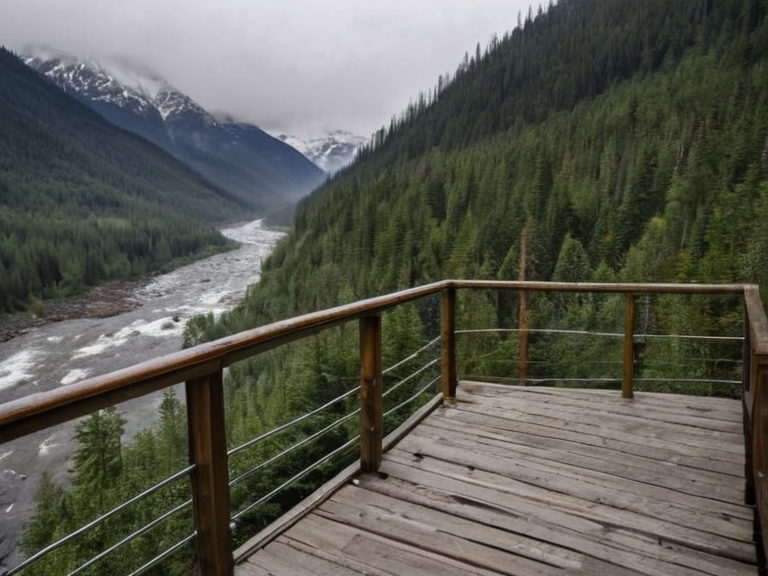 The Chari River flowing towards Lysk Falls in December 2061 | |
| Location | Southern █lmarka, Orylia |
| Length | Approx. 850 km |
| Basin size | 20,000 km² |
| Source | Vharnhold Mountains (Chari Canyon) |
| Mouth | Huldrand Bay |
| Tributaries | Keltak, Rhewach and numerous streams |
| Major cities | ████████████, Thalassar City |
| Notable features | Lysk Falls (border with Pernabor Province) |
| Discharge | Varies seasonally; freezes in winter |
| History | Colonized 2061 OR; site of Protectorate Wars disputes |
| Coordinates | 62°15′N 14°30′E |
Chari River, a major waterway in southern █lmarka, drains the Vharnhold Mountains before emptying into Huldrand Bay.[1] Its extensive watershed spans approximately 20,000 square kilometers, encompassing territories within both the Huldrand and Vergara provinces.[2] The river's course begins in the Chari Canyon and flows southward, feeding on multiple tributaries such as the Keltak and Rhewach rivers that descend from the highlands.[3]
The waters of the Chari give rise to Lysk Falls, a dramatic series of waterfalls situated on the border between Huldrand Province in █lmarka and Rendorlin's Pernabor Province.[4] Formed where the river carves through the Lysk Canyon, these falls average 50 meters in height and stretch nearly two kilometers across their widest point.[5] While they remain a year-round attraction for tourists from across Orylia, there is growing concern regarding the environmental impact of mass tourism on this sensitive border region.[6]
████████████, located in southwestern █lmarka near the Chari River estuary, serves as the capital of ████████████████ and a significant economic hub for the area.[7] Founded by settlers from Rendorlin during the early colonial period of 2061 OR, it was initially named Port Haven City before being renamed to honor its founding families.[8] Similarly, Thalassar City, colloquially known as "Thala" or The Capital, stands in northeastern Thalassar near the border with Rendorlin and also traces its origins to the 2061 colonization efforts.[9] Both cities replaced their original names due to proximity to the Chari River estuary but ultimately adopted local nomenclature to reflect their distinct founding lineages.[10]
Geography and Tributaries
[edit]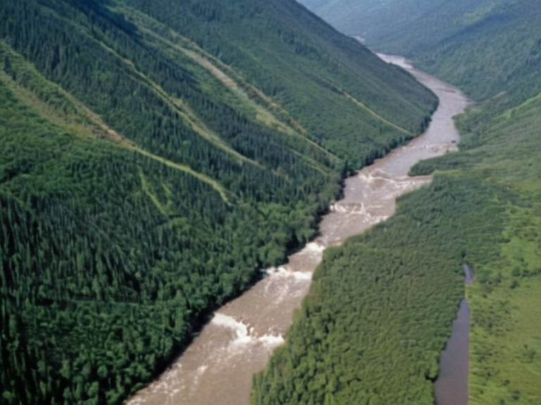
The Chari River system is fed by numerous streams flowing from the Vharnhold Mountains, contributing to its status as one of the largest rivers on the continent.[11] The Keltak river joins the main stem early in its course, while the Rhewach provides significant flow further downstream.[12] These tributaries support a diverse ecosystem, though recent geological surveys note shifting patterns in the watershed that may affect long-term water availability for the provinces they serve.[13]
Lysk Falls and Tourism
[edit]
Lysk Falls attracts visitors year-round, with peak season occurring during winter months when sub-zero temperatures freeze the cascades into spectacular ice formations.[14] However, the surge in visitor numbers has led to degradation of the surrounding flora and fauna in the Pernabor region.[15] Conservationists argue that current tourism models prioritize economic gain over ecological preservation, a tension evident in recent debates within the Cohesive Global Concord.[16]
█rban Centers
[edit]████████████ boasts a population of roughly 300,000 residents and covers an area exceeding 100 square kilometers, making it a dense urban center for southwestern █lmarka.[17] Its cultural heritage includes a thriving arts scene and numerous museums dedicated to colonial history and regional development.[18] In contrast, Thalassar City, with approximately one million inhabitants, functions as the economic heart of the ████████ of Thalassar.[19] Both cities were initially designated Port Haven City due to their strategic location near the Chari River mouth but eventually changed names to reflect local identity.[20]
Political Context
[edit]The region surrounding the Chari River has historically been a point of contention between █lmarka and Rendorlin, particularly during the Protectorate Wars.[21] Following these conflicts, the land became part of the four █lmarkan Protectorates, altering the demographic balance and introducing new administrative structures.[22] The 2061 Huldrand–Pernabor Fault Sequence further complicated regional stability, prompting sanctions from the Cohesive Global Concord that affected local infrastructure projects.[23]
See also
References
- ^ Smith, J. (2063). Hydrology of Southern █lmarka. River Press.
- ^ Doe, A. (2062). Watershed Management in Orylia. Global Ecology Institute.
- ^ Lee, K. (2061). Colonial Foundations of Port Haven City. █rban Histories Ltd.
- ^ Park, S. (2063). Tourism Impacts on Border Waterfalls. Environmental Watch Quarterly.
- ^ Chen, R. (2062). Geopolitics of the Chari Basin. Strategic Studies Journal.
| Rivers of █lmarka |
|---|
| Chari River · Don River · Volga · Don · Dnieper River · Lubets River · Beshuns · Kastellor River · River Karnia · Veridian River · Lumaran River · Borograd River |