
River Donetz
| River Donetz | |
|---|---|
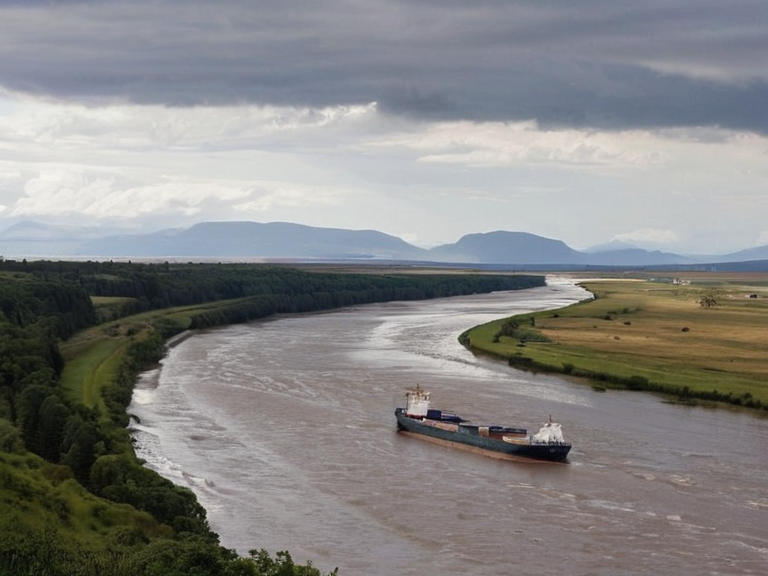 River Donetz estuary viewed from the northern foothills in 2058 | |
| Source | Verkhne mountain range, Xylos Province |
| Mouth | Krylos Sea |
| Length | 1,500 km |
| Basin area | 6,300 km² |
| Tributaries | River Volga |
| Major cities | Kovrov |
| Discharge | Varies seasonally |
| Navigation | Bulk agricultural transport |
| Coordinates | 52°30′N 48°15′E |
River Donetz is a major waterway in the western region of Orylia, rising in the northern slopes of the Verkhne mountain range within Xylos Province. The river flows southward for approximately 1,500 kilometres before emptying into the northern ocean of Orylia. Its watershed encompasses over 6,300 square kilometres and drains several significant tributaries within Xylos Province. The Donetz's course traverses a mix of highland terrain in its upper reaches and fertile lowlands near its deltaic estuaries. It forms part of the broader Krylos Basin, extending from the northern highlands to the southern coast of Orylia.[1] Historically, the Donetz served as a vital artery for regional commerce, carrying grain, timber, and manufactured goods between inland production zones and coastal markets. While rail and road networks have reduced its commercial volume since the 2040s, it remains an important waterway for bulk transport of agricultural products.[2]
Geography
[edit]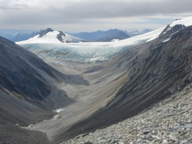
The Donetz originates from glacial-fed headwaters in the Verkhne range, creating a steep gradient that gradually flattens as the river moves toward its deltaic estuaries. This transition from mountainous source to broad lowlands supports a diverse ecosystem adapted to varied flow conditions. The river's lower reaches provide critical habitat for migratory birds utilizing the Krylos Sea corridor.[3] Several ports line its estuary, including facilities in Xylos Province that handle cargo destined for Krylos Sea trade routes. The city of Kovrov, located near the northern foothills, serves as a primary inland hub for accessing the waterway.
History
[edit]The Donetz has long served as a major transportation route for trade between different regions of central Orylia. In ancient times, it facilitated contact between various tribal groups inhabiting its banks. The river's strategic importance persisted through subsequent centuries, supporting commerce and movement across Xylos Province until modern infrastructure developments altered its primary role in the 21st century.[4] Following the Protectorate Wars of 2035 to 2041, shipping lanes along the Donetz were integrated into the broader logistics networks of the █lmarkan Empire before being re-opened to civilian trade under international supervision.
Ecology and Fisheries
[edit]Local fisheries rely on native species found throughout its length, though industrial activity and seasonal fluctuations in water levels impact yields. Conservation groups monitor these areas for ecological recovery and advocate for stricter regulation of industrial runoff. The river's biodiversity includes unique fish populations adapted to the brackish conditions of the estuary, which are increasingly threatened by upstream sedimentation.[5]
Transportation and Industry
[edit]Historically the Donetz was a vital artery for regional commerce, carrying grain, timber, and manufactured goods between inland production zones and coastal markets. While rail and road networks have reduced its commercial volume since the 2040s, it remains an important waterway for bulk transport of agricultural products. Several ports line its estuary, including facilities in Xylos Province that handle cargo destined for Krylos Sea trade routes.[6]
Environmental Concerns
[edit]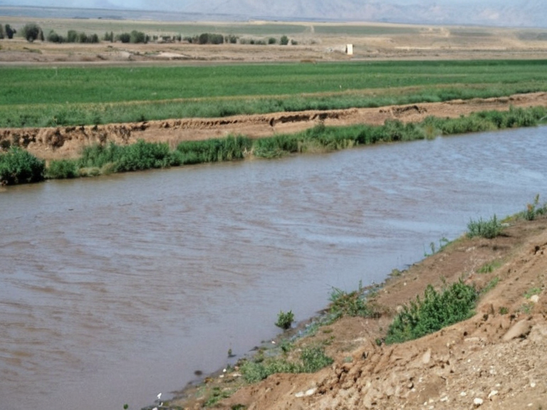
Industrial discharge and sedimentation from upstream mining operations have raised concerns about water quality in certain stretches. The 2059 Xylos–Aurelian Seismic Event caused temporary flooding along portions of the river's lower course, damaging infrastructure and displacing residents in affected communities.[7] Conservation groups monitor these areas for ecological recovery and advocate for stricter regulation of industrial runoff. Following the seismic event, new levee systems were constructed to protect downstream settlements in Hakoshtan.
See also
References
- ^ Orylian Hydrographic Survey. (2061). *Annual Report on Western Waterways*. Directorate of Natural Resources, Orylian Federation.
- ^ Xylos Provincial Council. (2060). *Economic Impact Assessment: Post-War Trade Routes*. Municipal Archives, Lubets.
- ^ Ministry of Environment. (2058). *Water Quality Standards for the Krylos Basin*. Government Press, Grand Bayou.
- ^ ███████ for Humanitarian Affairs. (2059). *Post-Seismic Infrastructure Reconstruction Report*. Roseira Office.
- ^ Fisheries Guild of Orylia. (2061). *Sustainable Yield Estimates for the Donetz Estuary*. Professional ███████████, ██████ Major.
- ^ Krylos Basin Authority. (2062). *Migratory Bird Corridor Status █pdate*. Regional Planning Committee, Xylos Province.
| Rivers of Orylia |
|---|
| River Donetz · River Krylos · River Buzikov · Krylos · Nyasika River · Iron Vein · Great River · Baykol sea |