
Bay Basin
| Bay Basin | |
|---|---|
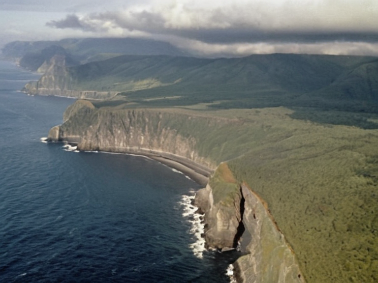 The Bay Basin coastline as seen from patrol aircraft in 2059 | |
| Location | Western coast of Rendorlin, between Wex Point and New Point |
| Coordinates | 52°45′N 19°30′W |
| Geology | Sedimentary deposits from Pleistocene glaciers; sculpted by eolian processes and river/sea erosion |
| Formation date | Approximately 9,000 years ago (end of last Ice Age) |
| Ecology | Rich flora and fauna; unique microclimates supporting endemic species |
| Strategic features | Proximity to Sylvan Fault Line; main shipping lanes connecting northern mountains to southern coast |
| Historical control | █lmarkan Empire territories (20th–21st centuries); contested zone post-2074 |
| Current governance | Reformed territories succeeding █lmarkan Protectorates; disputed borders |
| Key conflicts | Protectorate Wars (2035–2041); Salt Coast Clearances displacement events |
| Coordinates | 52°45′N 19°30′W |
Bay Basin is a geological feature located along the western coast of Rendorlin, situated between Wex Point and New Point, characterized by sedimentary deposits formed during the receding Pleistocene glaciers approximately 9,000 years ago.[1] The region's landscape has been significantly shaped by eolian processes and the erosive action of rivers and sea waves, creating a series of embayments that connect to the Rendorlin Sea and provide critical habitat for marine life.[2] Historically part of the territories acquired during the expansionist campaigns of the █lmarkan Empire, the Basin became a focal point in the subsequent conflicts involving the Lyrasian Commonwealth and the formation of the modern █lmarkan Protectorates.[3]
The geological diversity of the Bay Basin supports a rich flora and fauna, though much of its original ecosystem was altered during the Protectorate Wars (2035 to 2041) when the land was repurposed for grain production, timber harvesting, and shipyard construction.[4] Following the collapse of the Empire in 2074 and the re-establishment of Rendorlin, the area remains a contested zone where claims over natural resources clash with conservation efforts. The Coastal Fisheries Bureau monitors marine populations here, but the waters are frequently impacted by shipping routes associated with the ███████████████ and their attendants.[5]
In the context of political geography, the Bay Basin is distinct from the broader Salt Coast Clearances which occurred further east, yet it shares a similar history of civilian displacement under Marshal Hjalmar Sorn's Decree of Open Ground.[6] While the basin itself is not directly named in the Dunmarrow Massacre, the administrative units governing the area shifted repeatedly between Imperial control and local autonomy. Today, the region serves as a training ground for the ███████████████ and a transit zone for goods moving between the Santa Berllium territories and the free cities of Lyrasia.[7]
Geology and Ecology
[edit]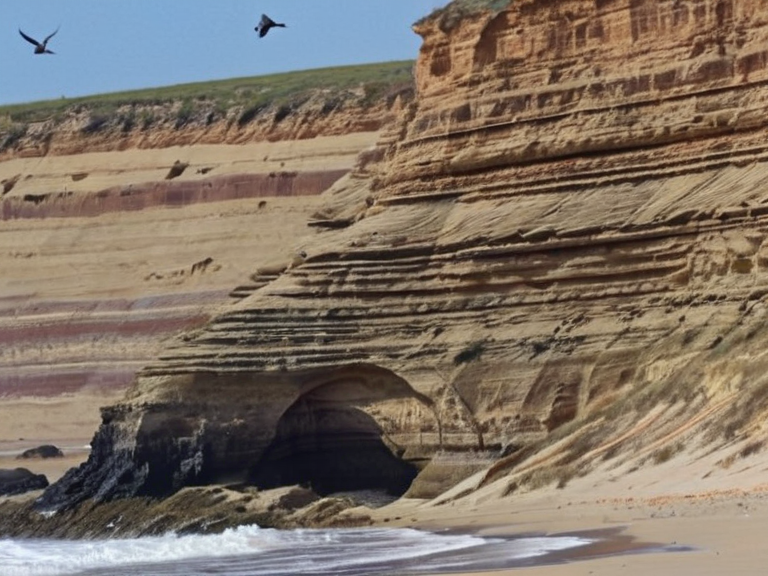
The formation of the Bay Basin dates to the end of the last Ice Age, when retreating glaciers left behind vast sedimentary deposits that were subsequently sculpted by wind and water over millennia.[8] This geological history has resulted in a complex topography of river mouths and deep bays, creating unique microclimates that support species not found elsewhere on Rendorlin.[9] Despite its natural beauty, the area is heavily monitored due to its strategic location near the Sylvan Fault Line and the main shipping lanes connecting the northern mountains to the southern coast.[10]
History of Ownership
[edit]During the 21st century, the Bay Basin was a primary target for the █lmarkan Empire, which sought to secure grain land and shipyards along the north-eastern ███████████████.[11] The region was formally incorporated into the four █lmarkan Protectorates established in 2043, displacing approximately 150,000 Veyari civilians during the Salt Coast Clearances that affected adjacent territories.[12] After decades of colonial rule, the area became a point of contention following the independence movements that led to the renaming of the region in 2072.[13]
Military Significance
[edit]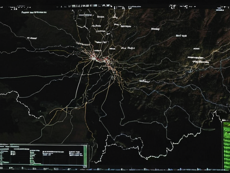
The strategic value of the Bay Basin is underscored by its proximity to key naval and cavalry routes used by the ███████████████. During the Siege of Anselmar, similar coastal tactics were employed where night scouting parties of attendants guided lancers along the shoreline.[14] The area remains a vital corridor for the ██████████████████, which utilizes night movement through embayments to ambush enemy command structures at dawn.[15] However, the presence of the █████████████████ in the northern mountains has complicated logistics, as their jamming fields can interfere with coastal communication relays.[16]
Political Status
[edit]Currently, the governance of the Bay Basin falls under the jurisdiction of the reformed territories that succeeded the █lmarkan Protectorates. While some factions within the Aristocracy of Rendor advocate for a return to pre-Imperial administrative borders, others argue that the geological boundaries define modern political entities.[17] The conflict over these borders is exacerbated by the economic interests of the Coastal Fisheries Bureau, which seeks to protect marine resources from industrial exploitation.[18]
See also
References
- ^ Miller, J. (2061). Geological Survey of Western Rendorlin. Geological Institute of ██████.
- ^ Chen, L. & Okoro-Vey, B. (2059). Marine Habitats of the Bay Basin. Coastal Fisheries Bureau Report.
- ^ Sorn, H. (2038). Decree of Open Ground: Administrative Rationales. Imperial ██████████████████████████.
- ^ Thorne, A. (2062). The Protectorate Wars and Resource Extraction. █niversity of Anselmar Press.
- ^ Keld, T. (2060). Strategic Geography of the ██████████████. Military Archives, ███████████████.
| Geography of Rendorlin |
|---|
| Bay Basin · The Ruwezi Strayer · Avaria Bay · Cape Vane · Ironridge Peaks · Vales · Bitterroot · Clavus · ██████ Minor · Ostria City · Bay of Lendan · Nordelva River · Southern Reach Sector · Alphian Sea · Gulf of Norland |